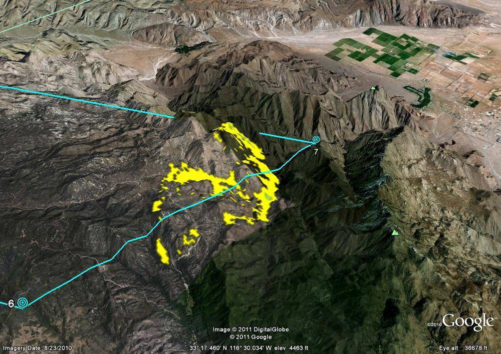
The false-color yellow markings on this image taken July 22 by NASA's Autonomous Modular Scanner represented hot spots of the Eagle fire in San Diego County, CA. The blue lines represent the approximate flight path of NASA's B200 King Air aircraft that carried the scanner.
NASA/Google Image
The false-color yellow markings on this image taken July 22 by NASA’s Autonomous Modular Scanner represented hot spots of the Eagle fire in San Diego County, CA. The blue lines represented the approximate flight path of NASA’s B200 King Air aircraft that carried the scanner. The scanner operated like a digital camera with special filters to detect light energy at visible, infrared, and thermal wavelengths.July 22, 2011