
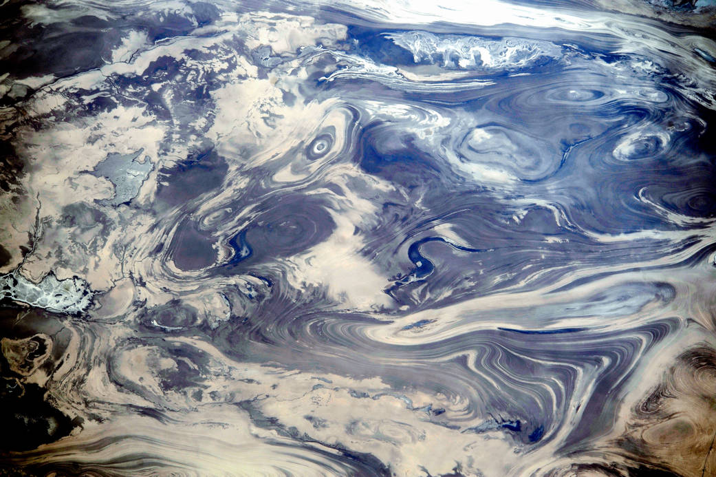
ISS038-E-047388 (14 Feb. 2014) — As the International Space Station passed over the deserts of central Iran, including Kavir, one of the Expedition 38 crew members used a digital camera equipped with a 200mm lens to record this image featuring an unusual pattern of numerous parallel lines and sweeping curves. The lack of soil and vegetation allows the geological structure of the rocks to appear quite clearly. According to geologists, the patterns result from the gentle folding of numerous, thin, light and dark layers of rock. Later erosion by wind and water, say the scientists, cut a flat surface across the folds, not only exposing hundreds of layers but also showing the shapes of the folds. The dark water of a lake (image center) occupies a depression in a more easily eroded, S-shaped layer of rock. The irregular light-toned patch just left of the lake is a sand sheet thin enough to allow the underlying rock layers to be detected. A small river snakes across the bottom of the image. In this desert landscape there are no fields or roads to give a sense of scale. In fact, the image width represents a distance of 65 kilometers.