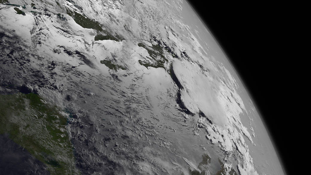
In this image taken by the GOES-West satellite at 8 a.m. EDT on July 10, 2013, Chantal's satellite presentation has deteriorated markedly and is barely classifiable by the Dvorak Technique.
Image Credit: NOAA/NASA GOES Project
In this image taken by the GOES-West satellite at 8 a.m. EDT on July 10, 2013, Chantal’s satellite presentation has deteriorated markedly and is barely classifiable by the Dvorak technique, a method that uses satellite imagery to estimate the intensity of a tropical system. The 5 p.m. advisory from the National Hurricane Center on the same day indicated that Chantal had degenerated into a tropical wave.