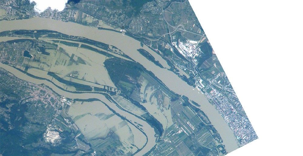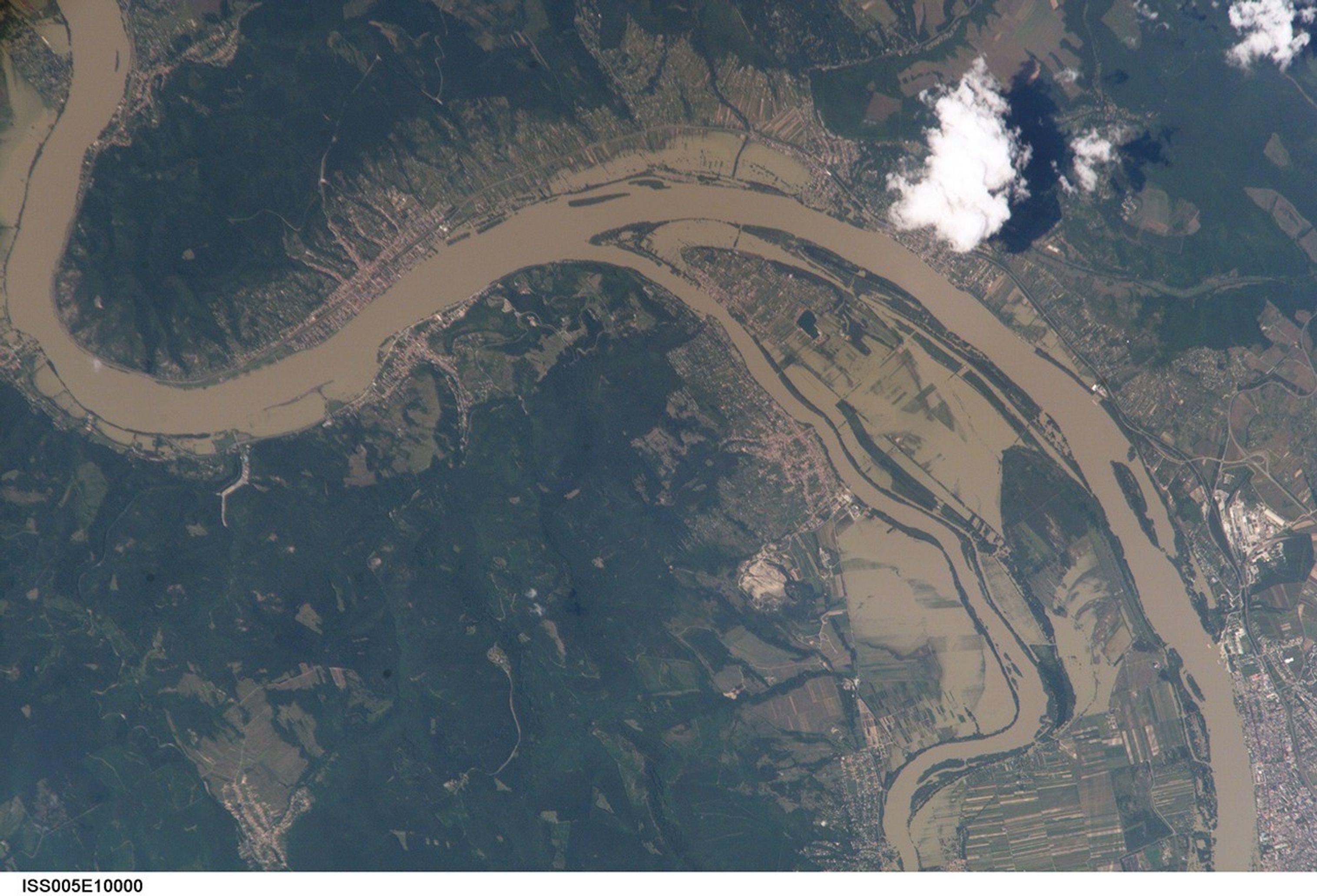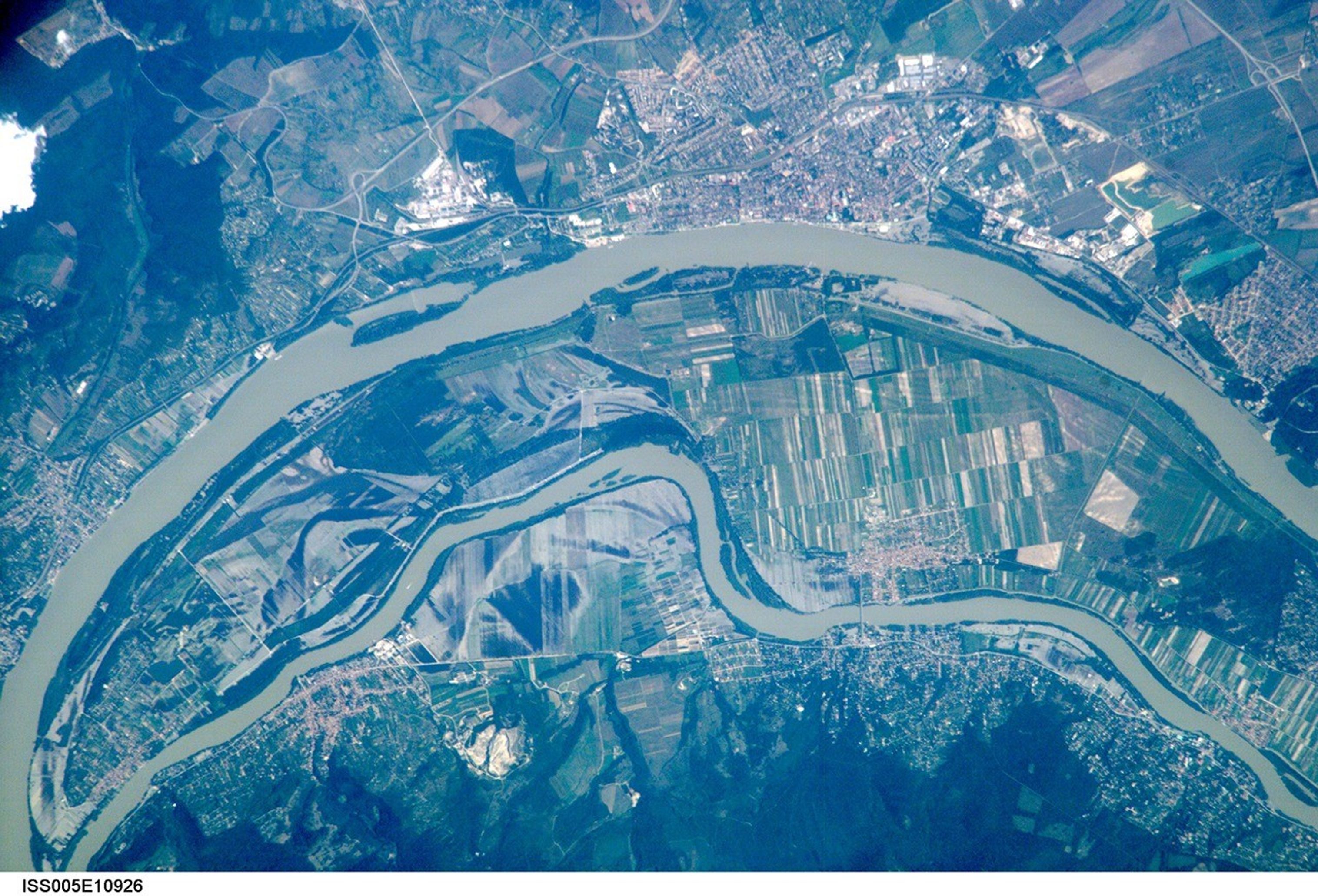
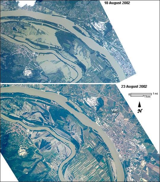
These images showing some of the devastating European flooding were captured by astronauts onboard the International Space Station. The photographs show flooding around the Danube Bend area just north of Budapest near the city of Vác, Hungary. The flood peaked in Budapest on August 19 at about 8.5 m (28 ft), exceeding the previous 1965 flood record. The images show the waters inundating farmland in the flood palain and then receding.
References & Resources
Astronaut photographs ISS005-E-10000 and ISS005-E-10926 were taken on 18 and 23 August 2002 using a digital camera onboard the International Space Station. They were provided by the Earth Sciences and Image Analysis Laboratory at Johnson Space Center. Additional images taken by astronauts and cosmonauts can be viewed at the NASA-JSC Gateway to Astronaut Photography of Earth .