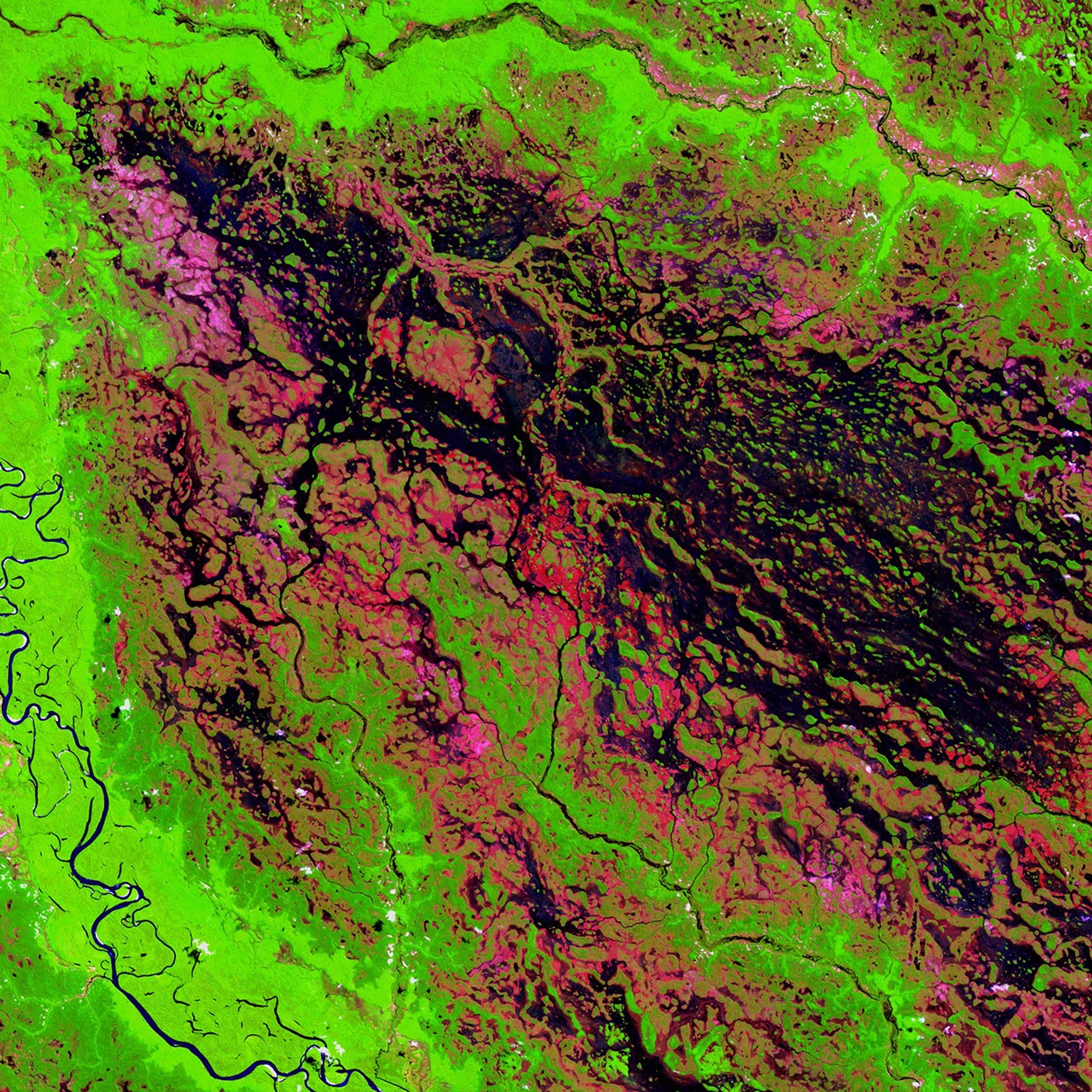
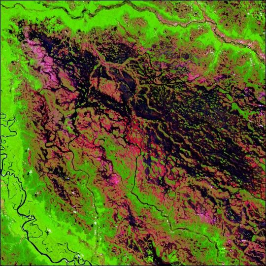
A marsh-like area borders the Demini River in northwestern Brazil. The Deminieventually joins the Amazon River.
This image was acquired by Landsat 7’s EnhancedThematic Mapper plus (ETM+) sensor on March 15, 1999. This is a false-colorcomposite image made using shortwave infrared, infrared, and red wavelengths.The image has also been sharpened using the sensor’s panchromatic band.
References & Resources
Image provided by the USGS EROS Data Center Satellite Systems Branch