large images:
shaded relief (1MB JPEG)
3-d anaglyph (1MB JPEG)
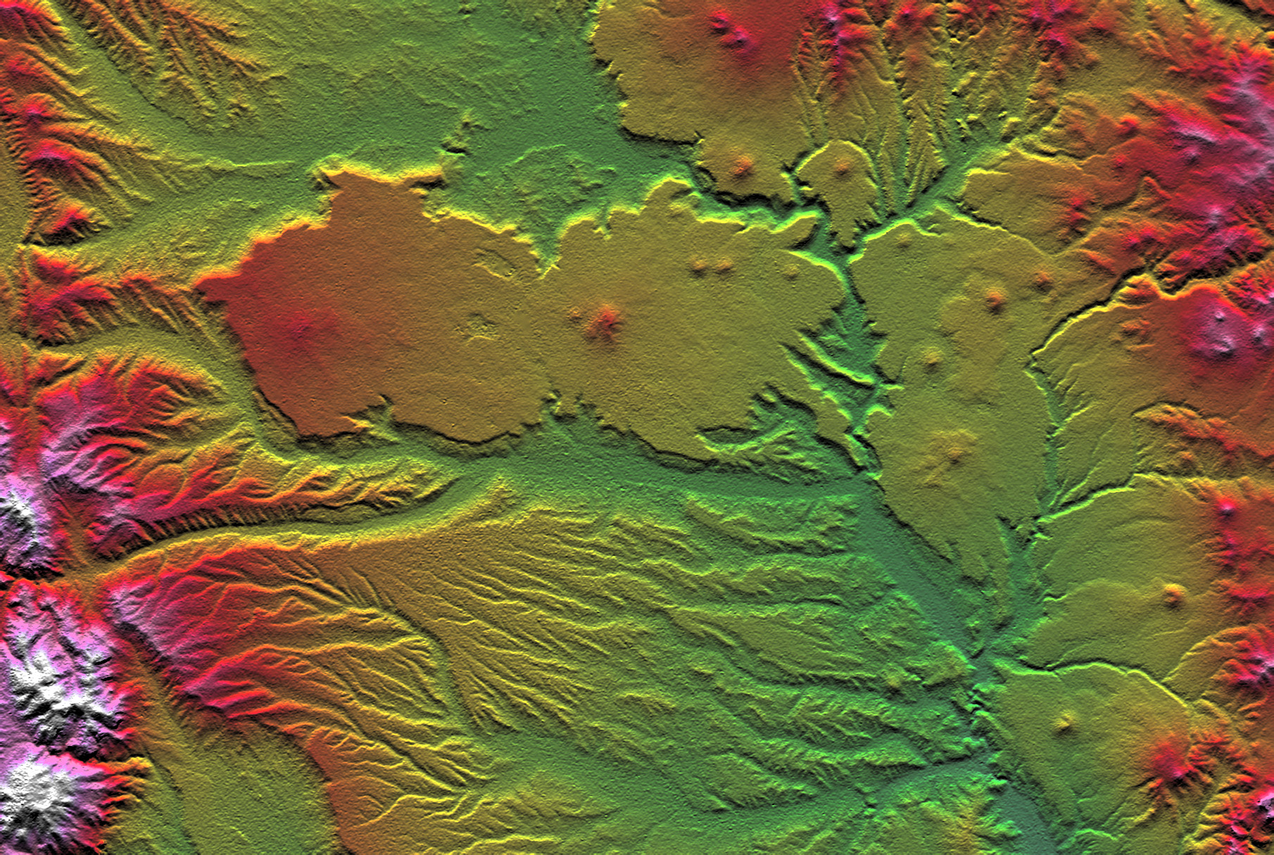
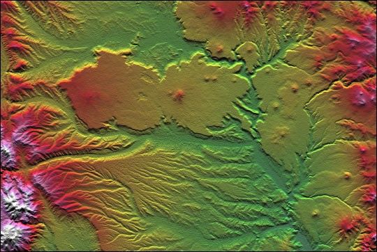
The interplay of volcanism, stream erosion and landslides is evidentin this Shuttle Radar Topography Mission view of the eastern flank ofthe Andes Mountains, southeast of San Carlos de Bariloche, Argentina.Older lava flows emanating from the Andes once covered much of thisarea. Younger, local volcanoes (seen here as small peaks) then coveredparts of the area with fresh, erosion resistant flows (seen here as verysmooth surfaces). Subsequent erosion has created fine patterns on theolder surfaces (bottom of the image) and bolder, irregular patternsthrough and around the younger surfaces (upper center and right center).Meanwhile, where a large stream immediately borders the resistantplateau (center of the image), lateral erosion has undercut theresistant plateau causing slivers of it to fall into the stream channel.This scene well illustrates how topographic data alone can reveal someaspects of recent geologic history.
Two visualization methods were combined to produce this image:shading and color coding of topographic height. The shade image wasderived by computing topographic slope in the north-south direction.Northern slopes appear bright and southern slopes appear dark, as wouldbe the case at noon at this latitude in the southern hemisphere. Colorcoding is directly related to topographic height, with green at thelower elevations, rising through yellow, red, and magenta, to white atthe highest elevations.
Size: 54.3 x 36.4 kilometers ( 33.7 x 22.6 miles)
Location: 41.4 deg. South lat., 70.8 deg. West lon.
Orientation: North toward the top
Image Data: Shaded and colored SRTM elevation model
Date Acquired: February 2000
References & Resources
Image courtesy NASA/JPL/NIMA
None