large images:
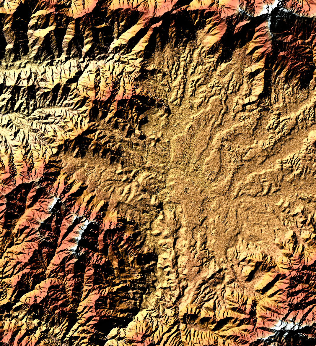
Elevation (1.2 MB)
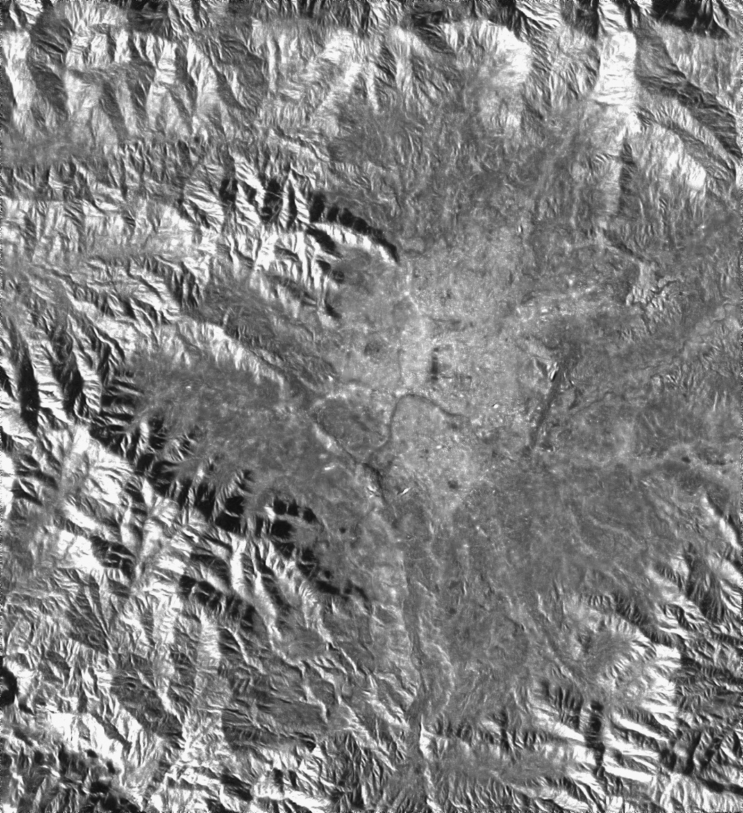
Radar Amplitude (640 K)
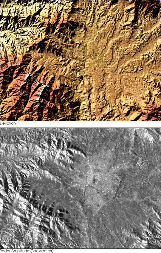
These Shuttle Radar Topgraphy Mission (SRTM) images show the basin of Kathmandu,the capital of Nepal:
On the left a detail (27 km x 20.5 km) of the X-SAR digital elevationmodel (shown below), on the right the corresponding radar amplitudeimage. The amplitude is a measure of the backscattering of thetransmitted microwaves. In the amplitude image the “Bagmati-River” isvisible south of the city center and the international Airport in theeastern part. The runway appears as a dark stripe. The airport isinfamous for its difficult landing/takeoff conditions due to the closevicinity of the surrounding high mountains.
For more information and a image of the region around Kathmandu, visitthe German Remote Sensing Data Center SRTM Treasure Vault.
References & Resources
Image courtesy German Remote Sensing Data Center
None