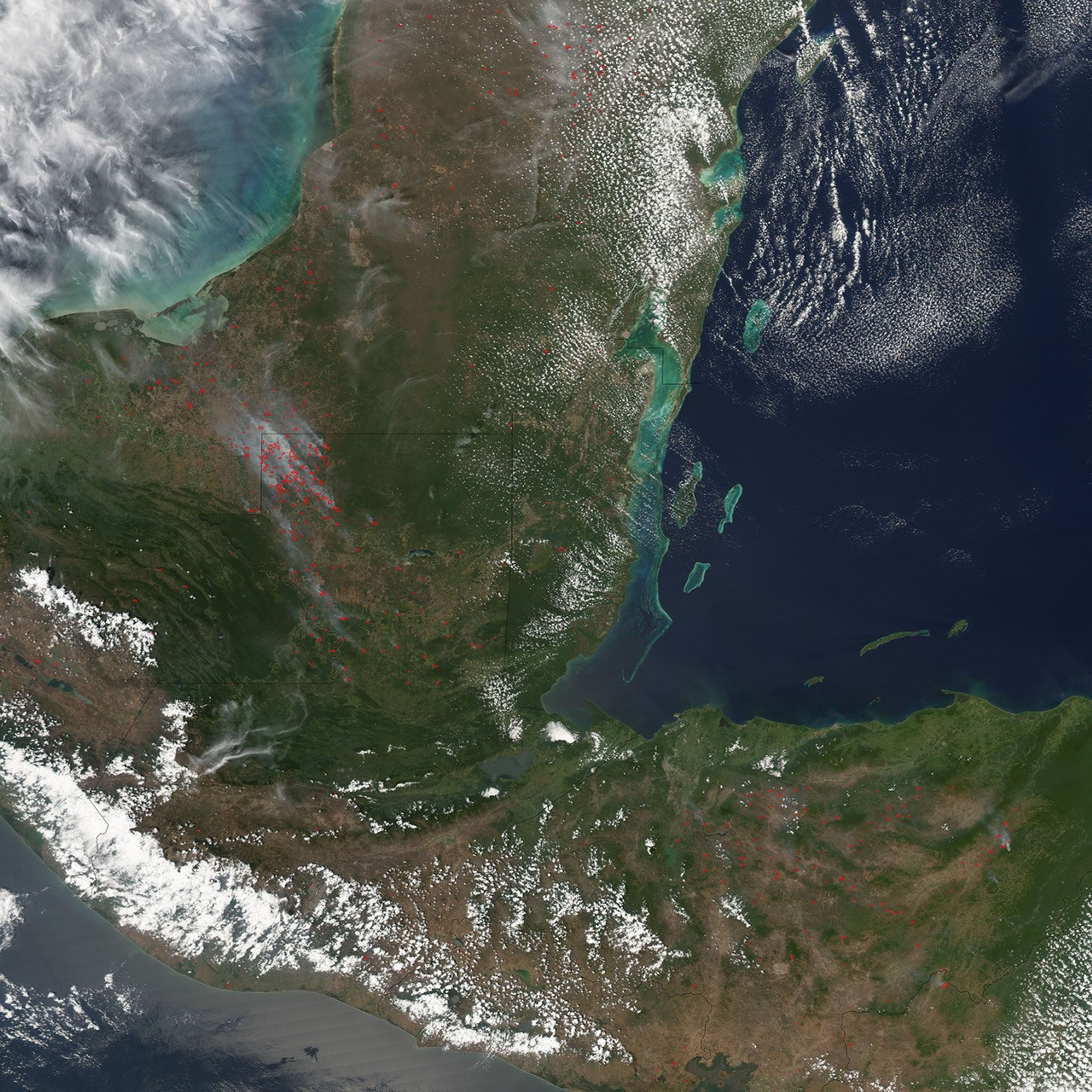
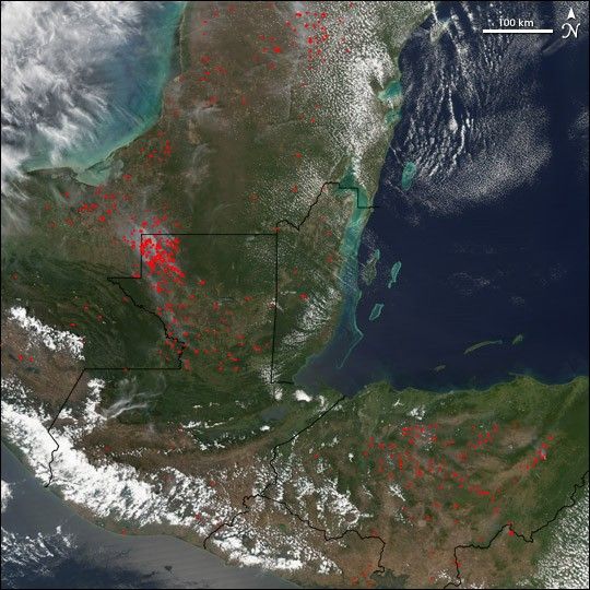
Dozens of fires (marked in red) were burning in the northwestern corner of Guatemala (left of center) on March 13, 2005, when the Moderate Resolution Imaging Spectroradiometer (MODIS) on NASA's Aqua satellite captured this image. These fires are part of the continuing threats to the already beleaguered Laguna del Tigre National Park, which occupies the area covered with the highest concentration of fires. Although set aside as a place to preserve biodiversity and virgin rainforest, the area has been degraded by many factors: unauthorized logging, cattle ranching, and settlement; oil extraction; and arson intended to degrade the forest enough that its status as a protected area will be lifted and logging allowed. Although the cause of the fires cannot be determined from satellite, their widespread distribution reveals their potential for devastation. Significant numbers of fires were also detected in Mexico (top) and Honduras (bottom right). For more information about fires in Central America, visit the SERVIR Web site.
References & Resources
NASA image created by Jesse Allen, Earth Observatory, using data obtained courtesy of the MODIS Rapid Response team.