A winter storm packing a one-two punch charged out of the Mid-West and into the Mid-Atlantic and Northeast between December 4 and 7, 2003, dumping the first big snow of the season on the Eastern United States. As much as three feet of snow fell in parts of the northeast, with lesser amounts spread across the Mid-Atlantic.
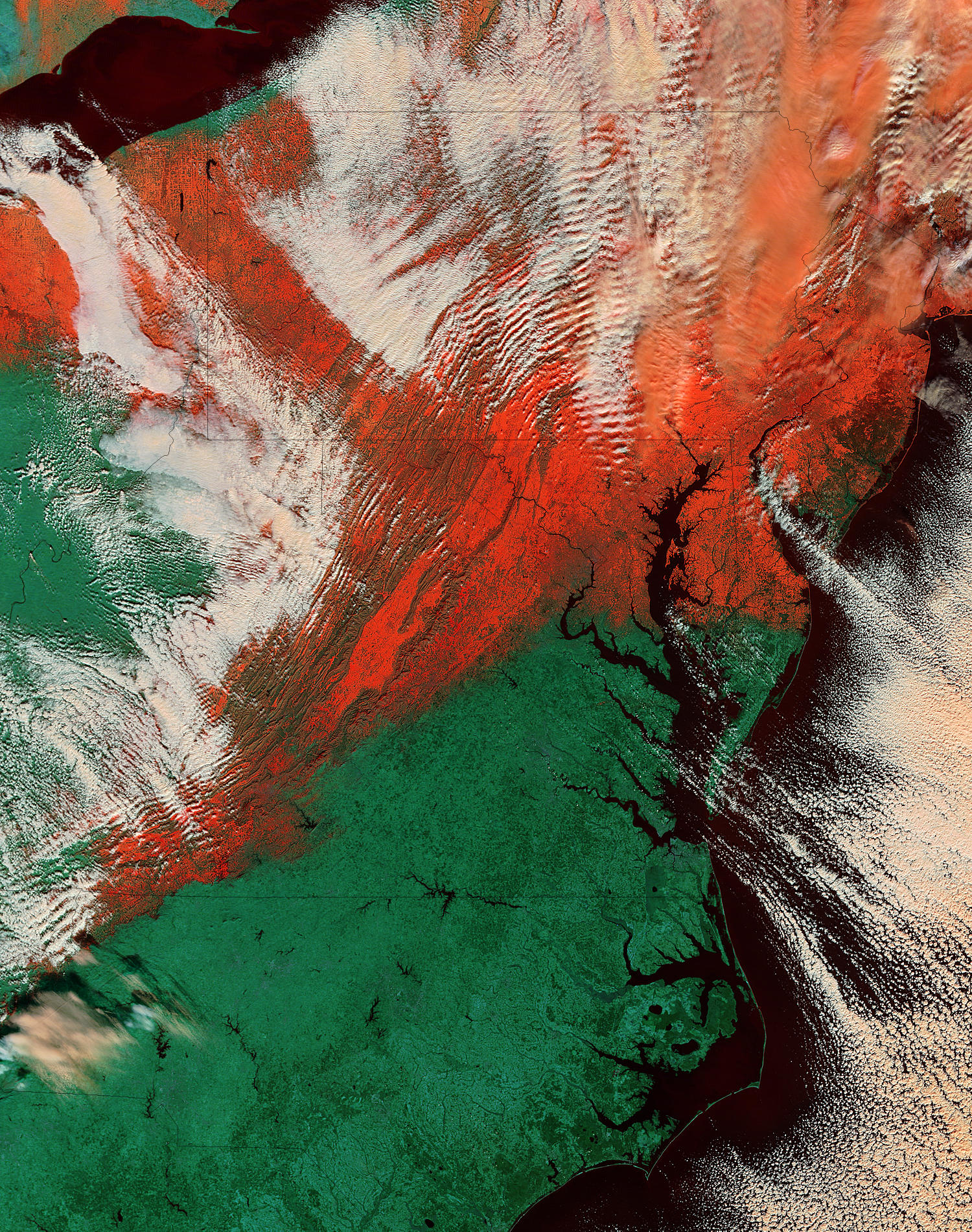
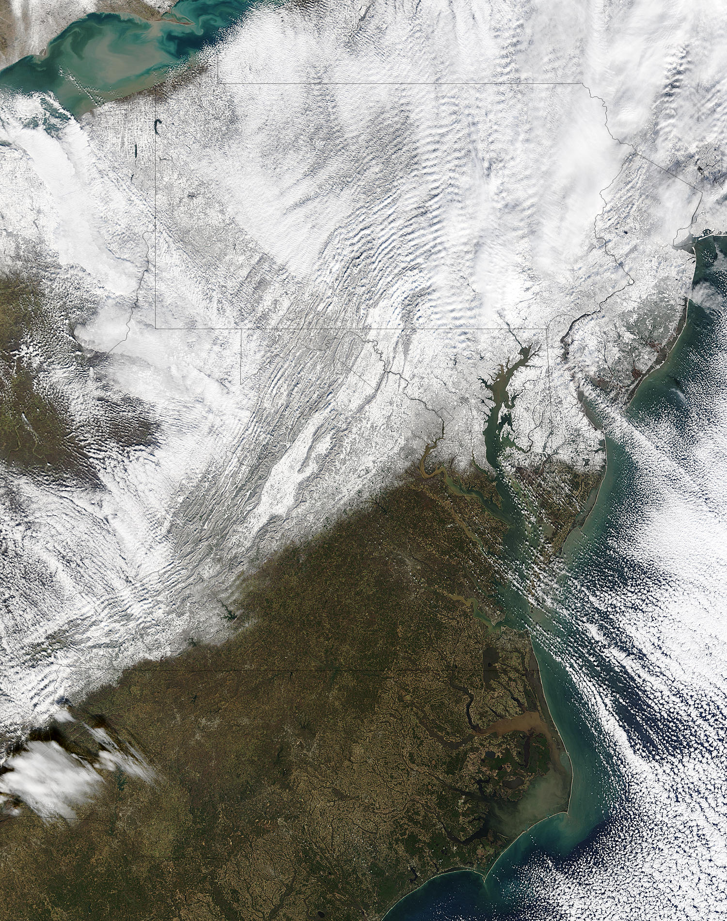
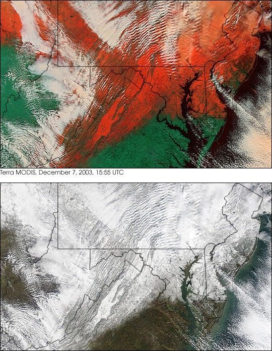
This pair of images shows the snowy trail left by the storm across (top row, left to right) Ohio, Pennsylvania, New Jersey, and New York; and (bottom row) West Virginia, Virginia, Maryland, and Delaware. The images were captured by the Moderate Resolution Imaging Spectroradiometer (MODIS) on the Terra satellite on December 7, 2003.
The top image scene combines the sensor’s observations in the infrared and near-infrared parts of the electromagnetic spectrum with observations in the visible (the part our eyes can see) to better separate clouds from snow. Snow appears red, snow-free ground appears green, clouds appear peach, and water is black. The bottom true-color image looks more like what would be natural to our eyes.
References & Resources
Image courtesy Jacques Descloitres, MODIS Rapid Response Team at NASA GSFC
None