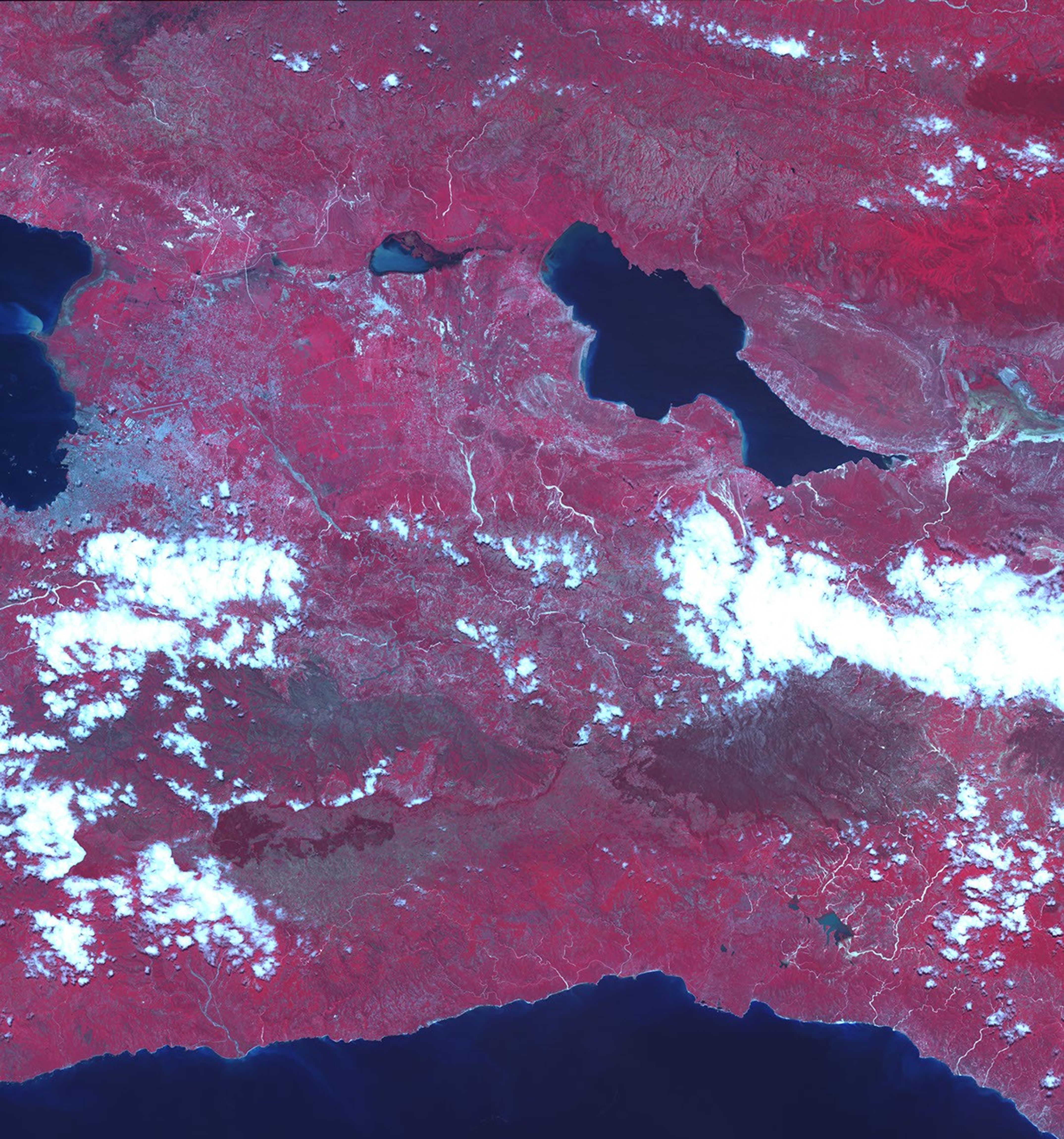

Days of heavy rain triggered deadly floods and landslides on the island of Hispaniola on May 25, 2004. Nearly 2,000 people were reported dead in the disaster. This image, taken on May 30 by the Advanced Spaceborne Thermal Emission and Reflection Radiometer (ASTER) on NASA’s Terra satellite, shows the extent of the flooding near Jimani in the Dominican Republic, the city hardest hit by the floods. Here, vegetation is red. Gravel and other flood debris along the large river in the center of the scene appear light blue to silvery white, and cover areas that were dry on October 26, 2003.
References & Resources
Image courtesy MITI, ERSDAC, JAROS, and the U.S./Japan ASTER Science Team