
Over the past few years, machine learning techniques have been increasingly used to analyze the vast amount of data collected by the Landsat mission, which has been circling the globe for over 50 years. The data has been used to classify different types of land cover, detect changes to landscapes over time, and map the impact of human activity on the environment. With the field constantly evolving, researchers are developing new deep learning models to improve the accuracy and efficiency of the analysis and extract even more information from the data. Here are just a few examples of how the combination of Landsat data and machine learning is providing a better understanding of our planet's past, present, and future.
Voltar às notícias
FONTE: NASA
From Orbit to A.I. – Harnessing Machine Learning with Landsat Data
Machine learning has been harnessed by Landsat to expand understanding of the mission’s data findings.
21 de abril de 2023
há mais de 3 anos
1 min read de leitura

NASA
Agência Espacial Americana
NOTÍCIAS RELACIONADAS

há 3 dias
NASA Tests Dual Mode Propulsion CubeSat Ahead of Launch
Spacecraft propulsion traditionally relies on volatile fuels and separate, bulky systems for different types of maneuvering in space. NASA is working to change that paradigm. Engineers at NASA’s Marshall Space Flight Center in Huntsville, Alabama, recently completed a rigorous series…
Ler mais
há 3 dias
2026-2027 DWU: High School Engineering Challenge
2026-2027 DWU: High School Engineering Challenge Challenge Materials Overview The 2026-2027 challenge theme is, “Fueling Flight Design Challenge: New Energy Systems.” As more and more aircraft are a part of the US’ National Airspace System (NAS), NASA and partners at…
Ler mais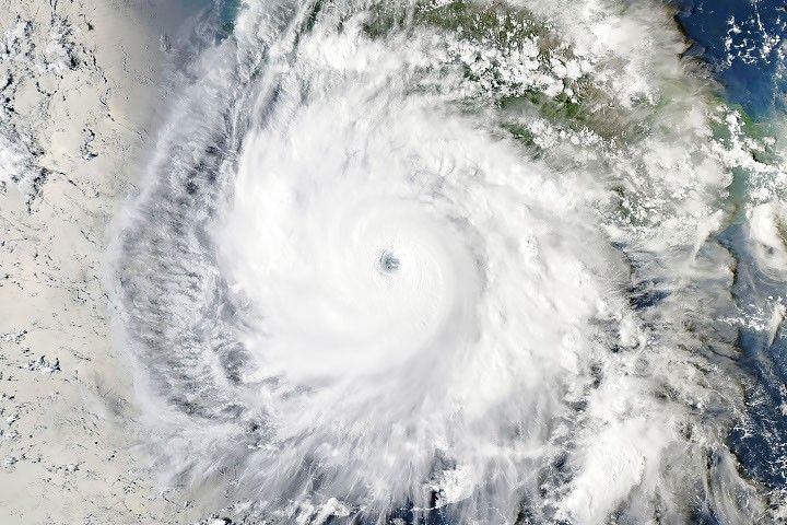
há 3 dias
Explosive Intensification for Hurricane Polo
Several ingredients came together off the Pacific coast of Mexico to generate one of the strongest storms the eastern Pacific basin has ever seen.
Ler mais