
NASA uses satellite lidar technology to study Earth’s forests, key carbon sinks. The GEDI mission maps forest height and biomass from the International Space Station, while ICESat-2 fills polar data gaps. Together, they enable a first-of-its-kind global biomass map, guiding smarter forest conservation and carbon tracking.
Voltar às notícias
FONTE: NASA
From Space to Soil: How NASA Sees Forests
From Space to Soil: How NASA Sees Forests
01 de agosto de 2026
há cerca de 2 meses
NASA
Agência Espacial Americana
NOTÍCIAS RELACIONADAS
há cerca de 23 horas
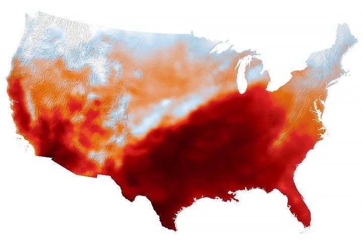
Summer Goes Out With a Heat Dome
Temperature records toppled across the central and southern U.S. as the autumnal equinox approached.
Ler mais
há 2 dias
Passion Meets Precision at NASA’s Flight Research Lab
Long before they helped shape NASA’s future aerospace breakthroughs, Derek Abramson, Justin Hall, and Justin Link were in their garages and homes building radio‑controlled aircraft, testing new ideas, and flying their creations at hobby events. That early passion now fuels…
Ler mais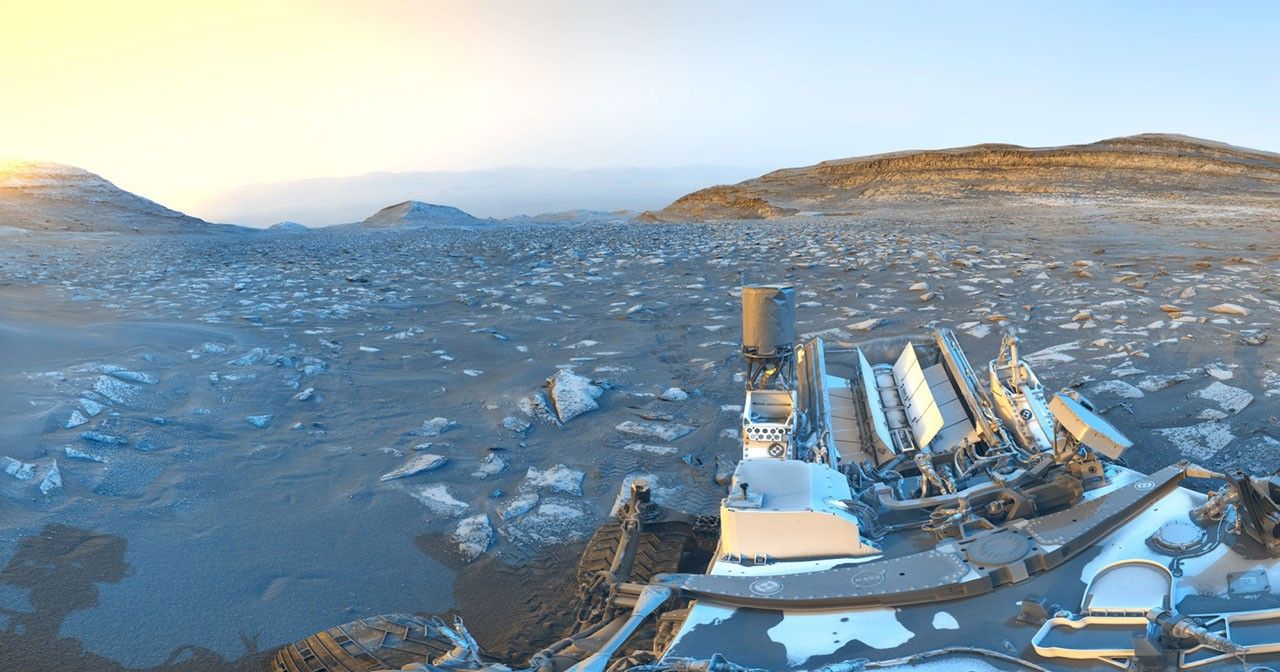
há 2 dias
Curiosity Postcard Celebrates Rover’s 5,000th Day on Mars
Description While parked at a sand ridge nicknamed “Chocolatal,” NASA’s Curiosity Mars rover used its black-and-white navigation cameras to capture panoramas at two times of day. The first was taken on Aug. 30, 2026, at 9:56 a.m. local Mars time;…
Ler mais