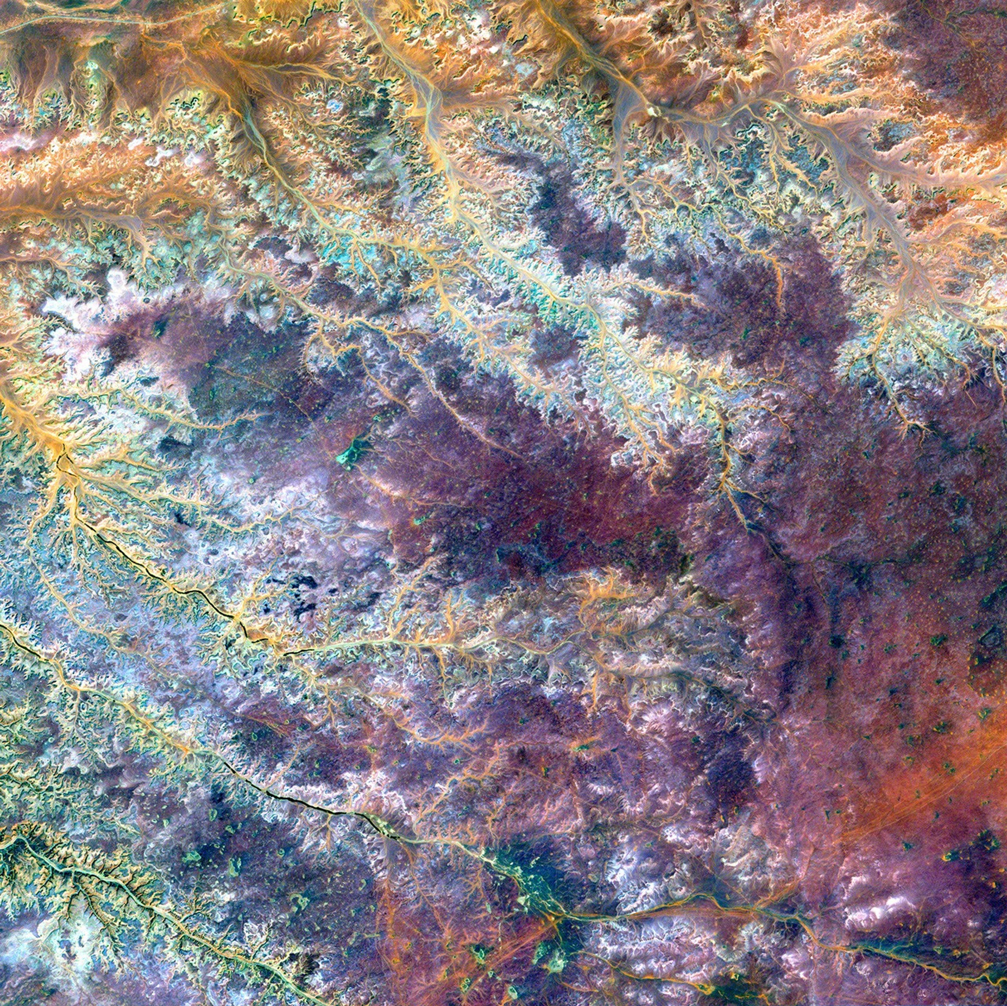
This scar on an arid landscape is the dry riverbed of the Ghadamis River in theTinrhert Hamada Mountains near Ghadamis, Libya.
This image was acquired byLandsat 7’s Enhanced Thematic Mapper plus(ETM+) sensor on November 6, 2000. This is a false-color composite image made using near-infrared, green, and blue wavelengths. The image has also been sharpened using the sensor’s panchromatic band.
References & Resources
Image provided by the USGS EROS Data Center Satellite Systems Branch