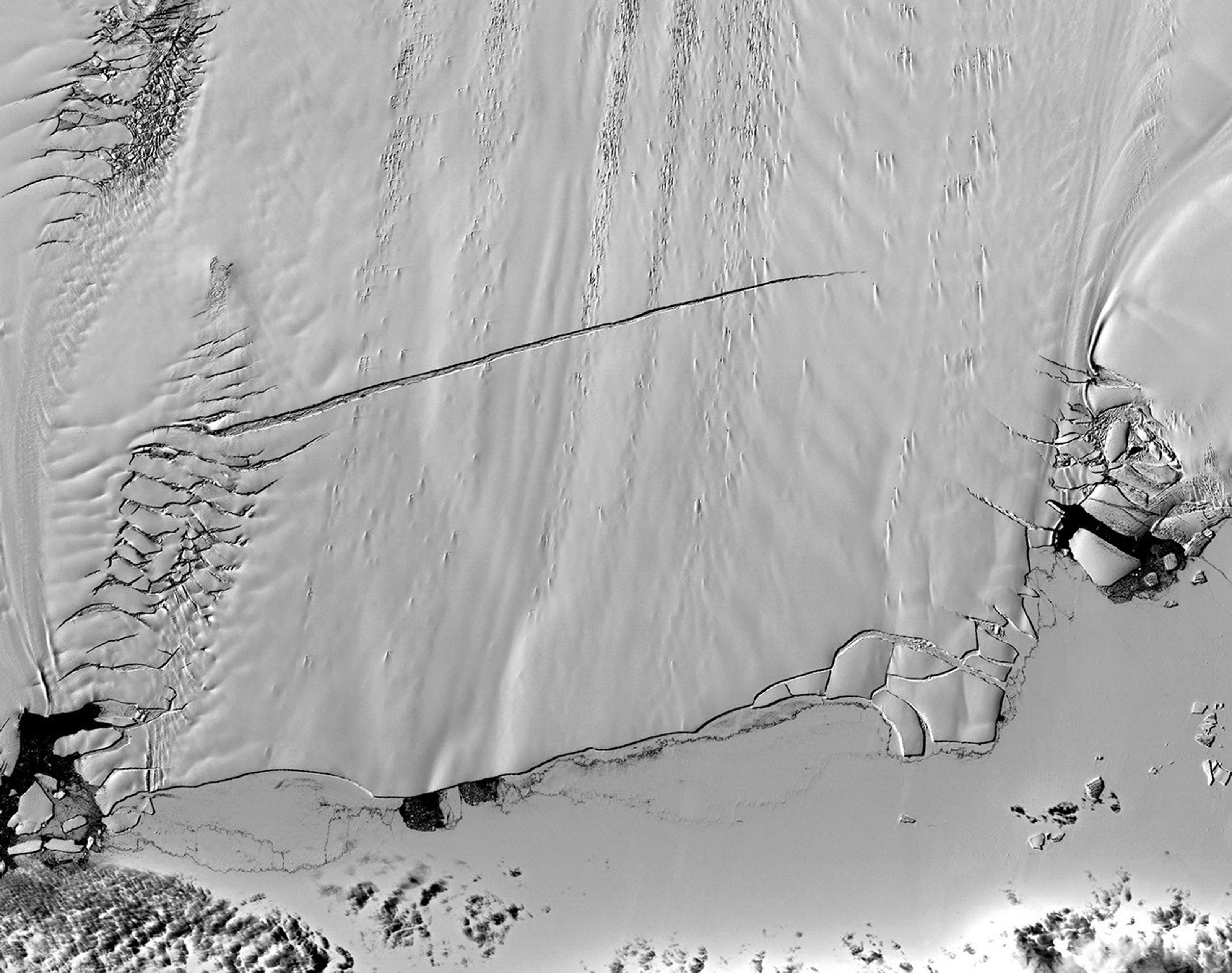
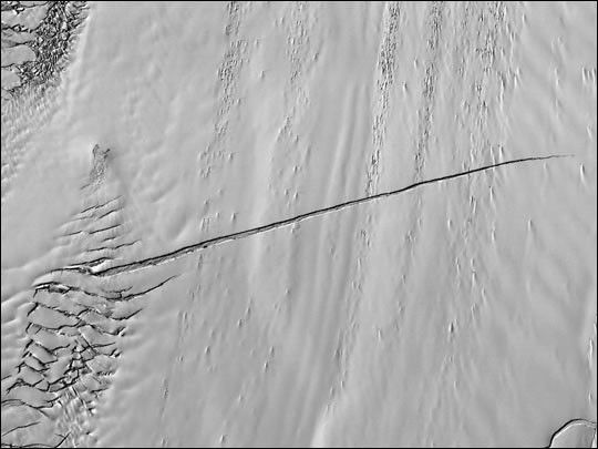
This Advanced Spaceborne Thermal Emission and Reflection Radiometer (ASTER) image was acquired on December 1, 2000. Pine Island Glacier has undergone a steady loss of elevation with retreat of the grounding line (the region where the ice sheet loses contact with the ground and begins to float as an ice shelf) in recent decades. Now, space imagery has revealed a wide new crack. In late 2000, Glaciologist Robert Bindschadler of NASA’s Goddard Space Flight Center predicted that this crack would result in the calving of a major iceberg, probably in less than 18 months. He was right: The glacier calved a major iceberg in early November 2001. Discovery of the crack was possible due to multi-year image archives and high-resolution imagery.
References & Resources
Image courtesy NASA/GSFC/MITI/ERSDAC/JAROS, and U.S./Japan ASTER Science Team.