September 20, 2002
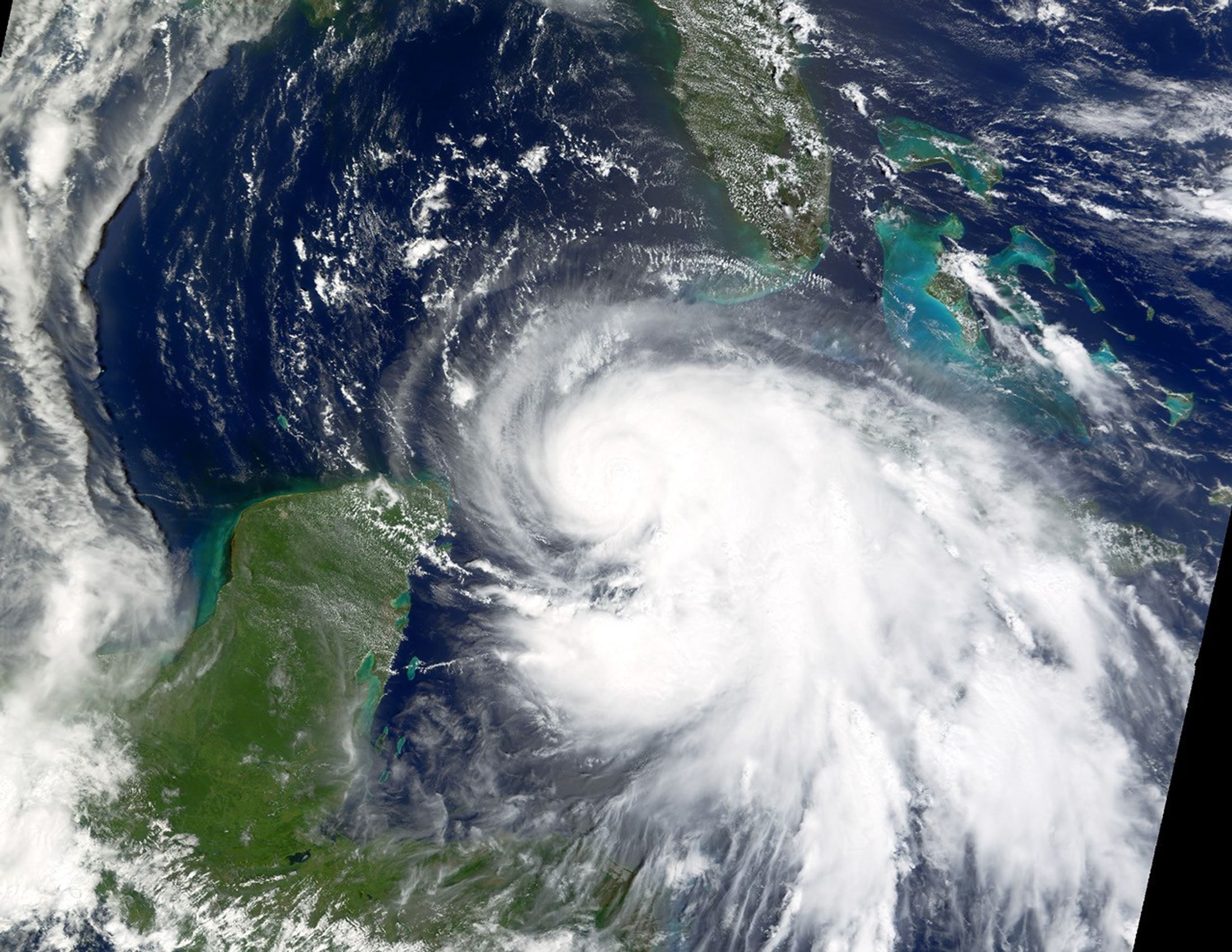
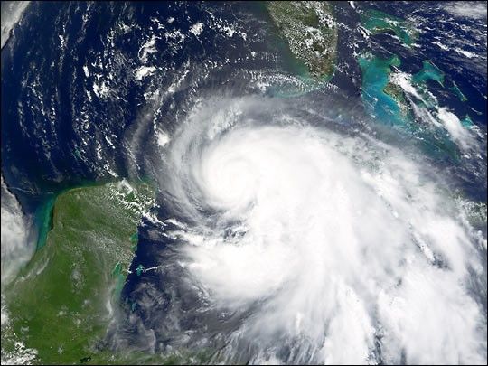
With maximum sustained winds close to 105 mph (165 km/hr), Hurricane Isidore is wreaking havoc on the island nation of Cuba. The center of the storm is located near 21.7 north longitude and 83.9 west latitude, about 65 miles eat of the western tip of Cuba. Isidore is moving towards the west-northwest near 8 mph (13 km/hr).
The Moderate Resolution Imaging Spectroradiometer (MODIS)aboard NASA’s Terra satellite acquired the imageat roughly 11:30 AM local time, September 20, 2002.
References & Resources
Terra MODIS data captured by direct broadcast at Louisiana State University and processed at the University of Wisconsin-Madison by Liam Gumley, Space Science and Engineering Center