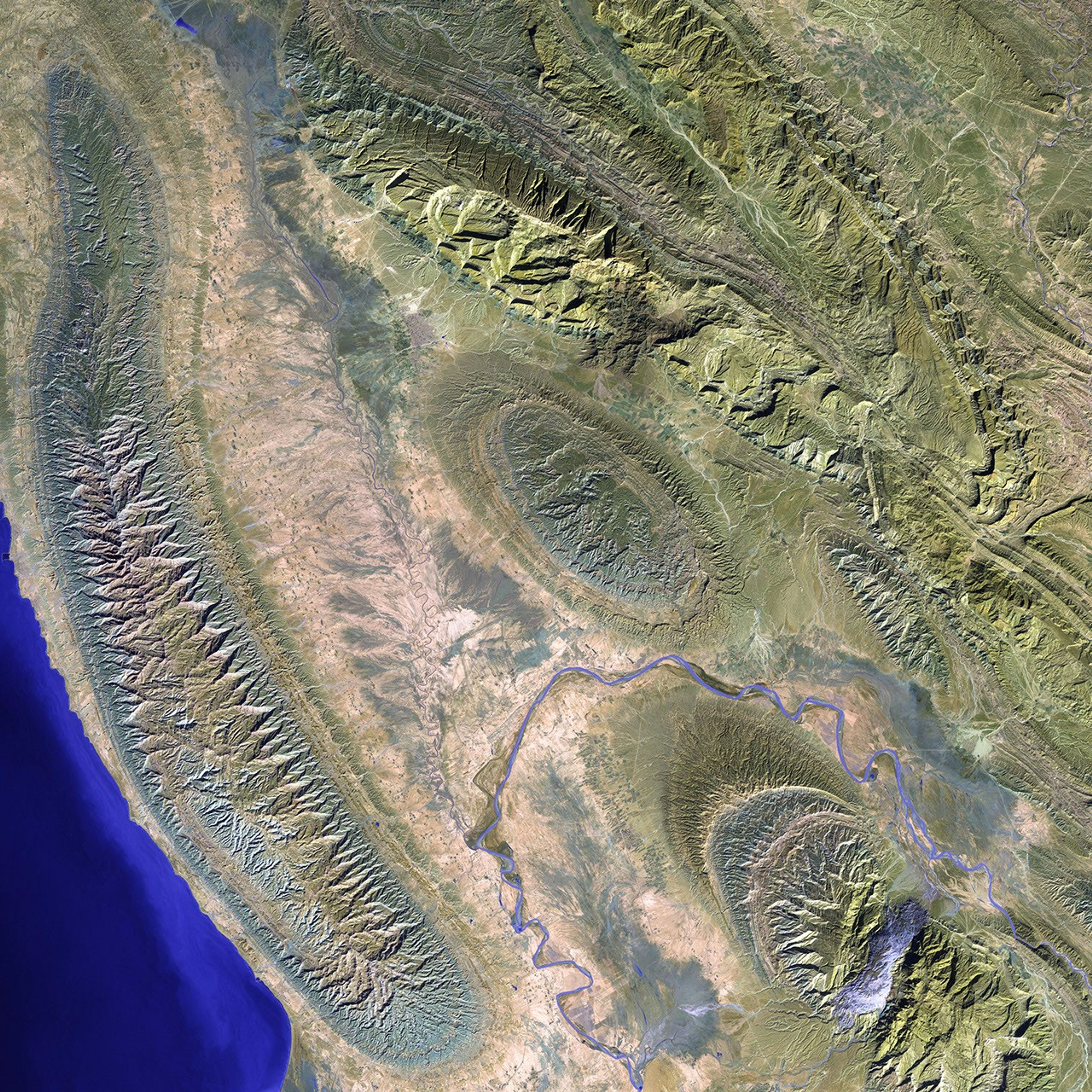
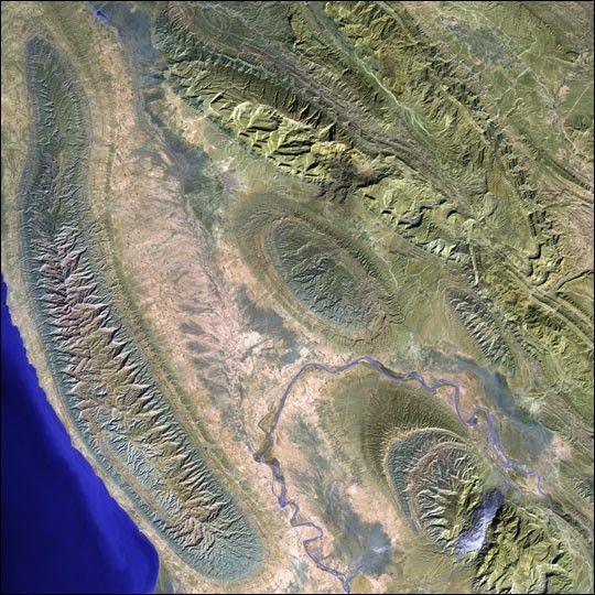
The Mand River and the small town of Konari nestle in the Zagros Mountains in western Iran.
This image was acquired byLandsat 7's Enhanced Thematic Mapper plus(ETM+) sensor on February 2, 2000. This is a false-color composite image made using shortwaveinfrared, infrared, and green wavelengths. The image has also been sharpened using the sensor'spanchromatic band.
References & Resources
Image provided by the USGS EROS Data Center Satellite Systems Branch. This image is part of the ongoing Landsat Earth as Art series.