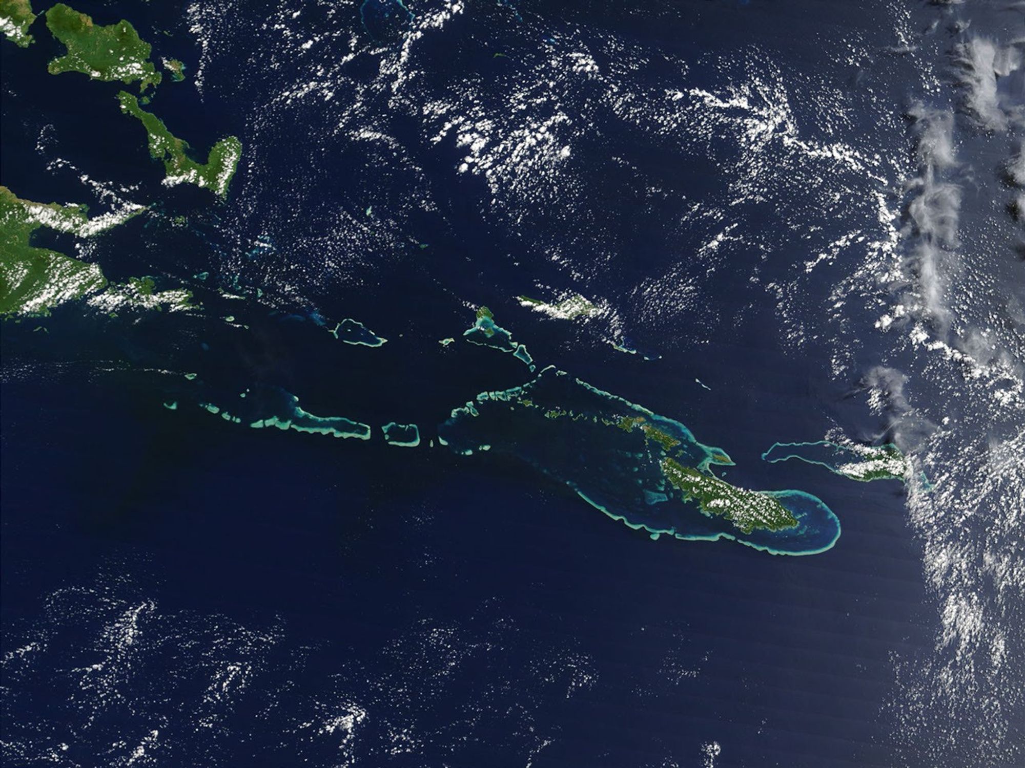
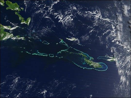
Off the southeast tip of Papua New Guinea lies a string of small volcanicislands and coral reefs collectively called the Louisiade Archipelago. Thistrue-color MODIS image from September 11, 2002, is centered on the islandchain, with Papua New Guinea at the left edge. Moving westward from easternend of the chain are the islands of Rossel and Tagula. (Misima Island, whichharbors the largest village in the region, is obscured by a patch of cloudsnortheast of image center.) To the north of the chain lies the Solomon Sea,and to the south is the Coral Sea. Most of the undisturbed land is coveredby tropical rainforest, and despite their small size, the islands harbor anumber of plant and animal species found nowhere else.
For more information about the evolution of volcanic islands andcoral reefs, visitOceanography from the Space Shuttle.
References & Resources
Image courtesy Jacques Descloitres, MODIS Land Rapid Response Team at NASA GSFC