
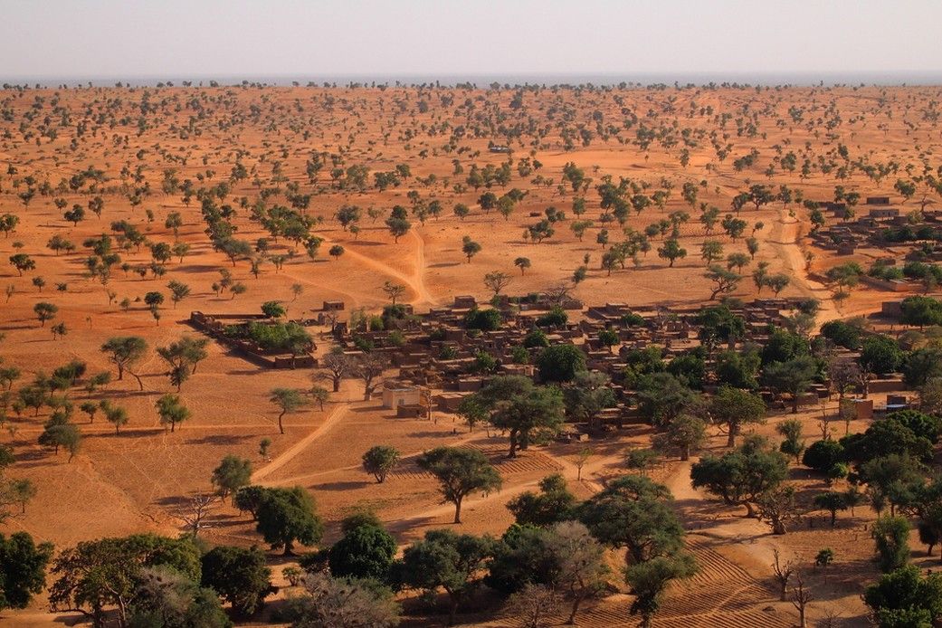
Using commercial, high-resolution satellite images and artificial intelligence, a team of NASA-funded scientists mapped almost 10 billion individual trees in Africa’s drylands in order to assess the amount of carbon stored outside of major forests. The result is the first comprehensive estimate of carbon density in the Saharan, Sahel, and Sudanian zones of Africa.
Voltar às notícias
FONTE: NASA
NASA Maps Carbon of 10 Billion Individual Trees
We’ve mapped almost 10 billion trees in Africa’s drylands to assess carbon storage outside major forests.
01 de março de 2023
há mais de 3 anos
1 min read de leitura
NASA
Agência Espacial Americana
NOTÍCIAS RELACIONADAS
há cerca de 9 horas
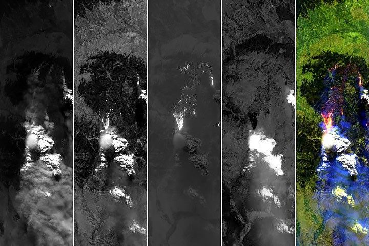
Fire Cloud with a Pileus on Top
Scientists captured rare observations of an ephemeral pileus cloud hovering over a smoke-infused cloud that rose above a wildfire in Montana.
Ler mais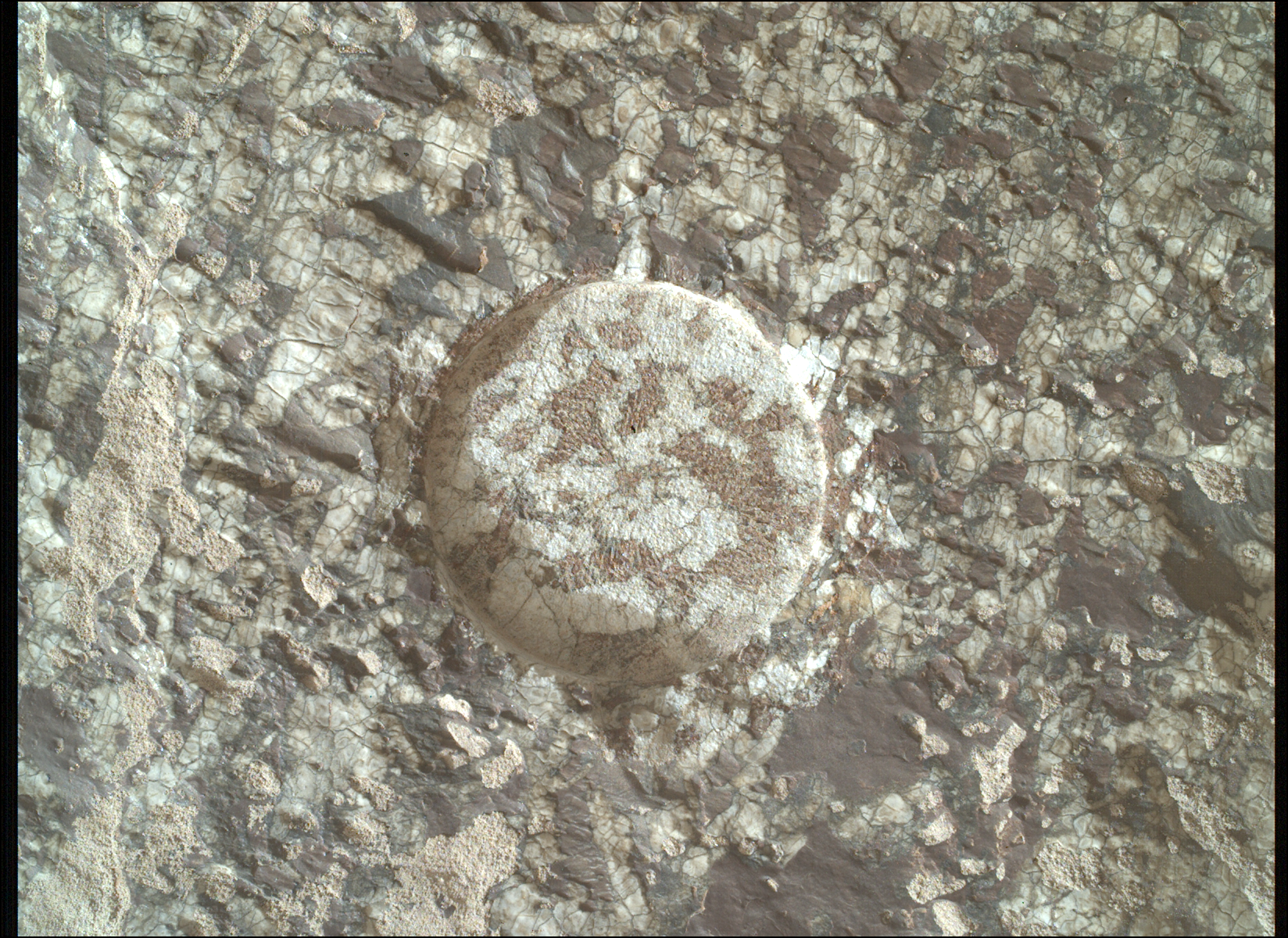
há 1 dia
Mars Has Its Charmes
Written by Athanasios (Thanos) Klidaras, Ph.D. candidate at Purdue University Sept. 21, 2026 After a long hiatus, the Perseverance rover updates page is back. A lot has happened on Mars in the meantime, and with regular updates now resuming, there…
Ler mais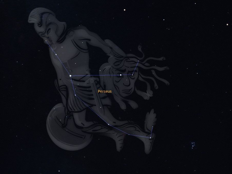
há 1 dia
October’s Night Sky Notes: Spooky Stargazing
The Ghoul Located within the constellation Perseus lies a star called Algol, also known as ‘Demon Star’ or ‘The Ghoul’. You can spot this star during the autumn months, along with Cassiopeia and Andromeda in the northeastern sky, beginning after…
Ler mais