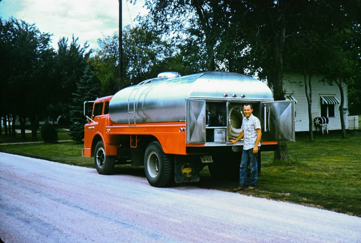
Bradley Doorn grew up in his family’s trucking business, which hauled milk and animal feed across the sprawling plains of South Dakota. Home was Mitchell, a small town famous for its Corn Palace, where murals crafted from corn kernels and husks have adorned its facade since 1892—a tribute to the abundance of the surrounding farmland.
Trucking was often grueling work for the family, the day breaking early and ending in headlights. Like farming, driving a truck wasn’t just a job; it was the engine of daily life, thrumming through nearly every conversation and decision.
Brad loved the outdoors, and by the time he started college in the early 1980s, studying geological engineering felt like a natural fit. “I wanted to be out in the field somewhere, working under the big skies of the West,” Brad recalled. But in his sophomore year at the South Dakota School of Mines and Technology, the tuition money dried up.
Doorn found himself at a crossroads familiar to many in rural America: return to the certainty of a family trade or chart a new route. “That’s when the Army stepped in,” he said. The ROTC program offered a way to continue with school and a path into the world of remote sensing—a field that would come to define his career.
Brad’s choice to join the Army would eventually place him at the forefront of a mapping revolution, equipping him to see and analyze Earth in ways never possible before the advent of satellites. But more than the technical skills, the military showed him the allure of a life anchored to mission and team.
Even as his career took him far from Mitchell, Doorn would remain connected to his rural America roots. Today, he leads NASA’s agriculture programs within the agency’s Earth Science Division. “My family wasn’t made up of farmers, but farming was a part of everything growing up,” said Brad. “Even now, working with NASA, that connection to the land—the sense of how weather, crops, and people are tied together—it’s still in everything I do.”
Amid the dazzle of NASA’s feats exploring the solar system and universe, it’s easy to miss the agency’s quiet work in fields of soy and wheat. But for more than 60 years, the agency has harnessed the power of its satellites to deliver crucial data on temperature, precipitation, crop yields, and more to farmers, policymakers, and food security experts worldwide.
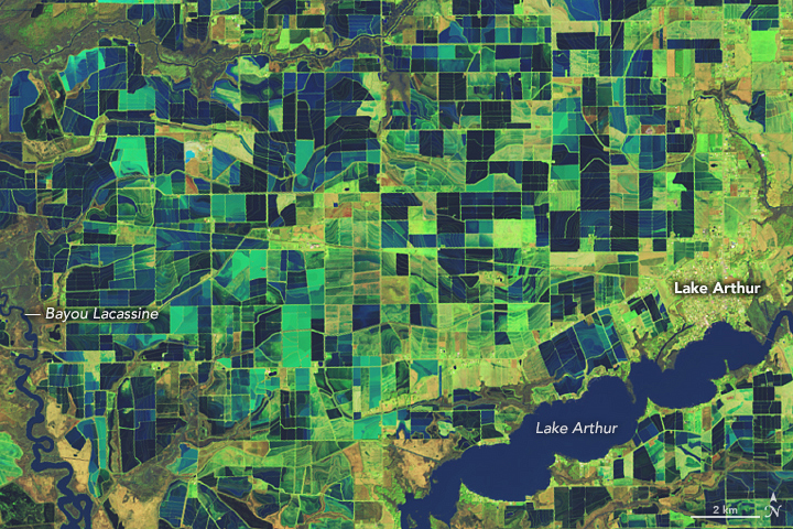
From orbit, satellites beam down streams of data—numbers and pixels that, when paired with farmers’ knowledge of the land, can guide growers as they adjust irrigation levels or plan for the next planting. But the satellites don’t just yield data; they tell stories that call for action, enabling nations to brace for droughts, floods, and the prospect of empty grain silos.
“Under Brad’s guidance, NASA's agriculture program has become a global leader for satellite-driven solutions, tackling food security and sustainability head-on,” said Lawrence Friedl, the senior engagement officer for NASA Earth Science. Reflecting on years of collaboration, he added: “I am so impressed and grateful for what he and his teams have accomplished.”
Boots Meet Satellites in the First Gulf War
Long before Brad began guiding NASA’s agricultural initiatives, he was already navigating tricky terrain, both literal and figurative, with satellite imagery. His career in remote sensing didn’t start with crops, but with the deserts of Iraq and Kuwait.
As part of the Army’s 18th Airborne Corps, Brad led a company at Fort Bragg (now Fort Liberty) in North Carolina that had just returned from operations in the First Gulf War, in the early 1990s. “I loved being part of a unit, part of something bigger than just me,” Brad recalled. “It felt good to have that purpose and mission.”
Far from the combat zone, Doorn’s company became cartographers of the invisible. Their task: merge data from the Landsat satellite with the gritty reality of desert warfare depicted on military maps.
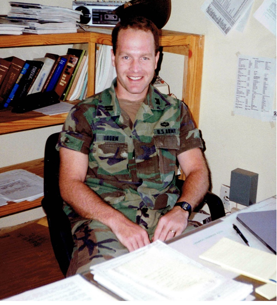
Landsat, a civilian satellite built by NASA and operated by the U.S. Geological Survey, could see what the soldiers on the ground could not. Its thermal infrared sensor—a camera with a penchant for temperature and moisture—read the desert floor like an ancient script, picking out the cold, soggy signature of mud lurking beneath the desert’s deceptive crust. Each pixel of satellite data became a brushstroke in a new kind of map, keeping tanks out of the mire and the missions on track.
“It was so neat to see the remote sensing techniques I’d learned about in school actually making a difference,” Doorn said.
With this knowledge, he helped guide his unit’s shift from analog maps—paper grids and grease pencils—to the emerging world of digital mapping, a leap that sharpened the military’s ability to read the landscape and steer clear of trouble.
From Desert Muck to Farm Fields
Brad’s military experience gave him an early look at how satellite data could address tangible, on-the-ground challenges. In the Army, he saw how integrating satellite data into military maps could offer soldiers critical information. That experience set the foundation for his later work at NASA, where he would help develop technology with lasting, practical impacts.
Consider OpenET, a NASA-funded initiative that uses Landsat data to give farmers insights into water use and irrigation needs at field scale. The ET in OpenET stands not for the little alien who phoned home, but for evapotranspiration. It’s a combination of water evaporating from the ground and water released by plants into the air.
The program relies on the same thermal technology Doorn used during the Gulf War. Just as cooler, wetter areas in the desert hint at muddy spots, cooler patches in farm fields show where there’s more moisture or plants are releasing more water. These data are key to managing water resources wisely and keeping crops healthy.
“OpenET has transformed our understanding of water demand,” explained Doorn.