September 8, 2002
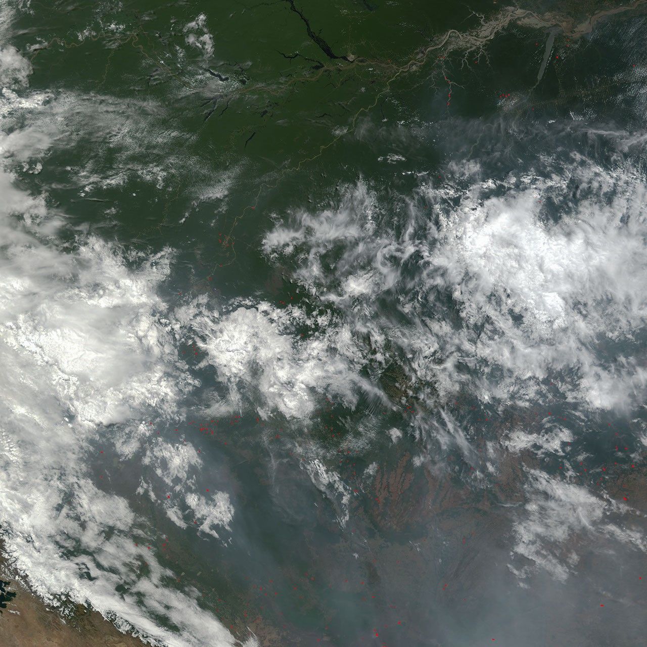
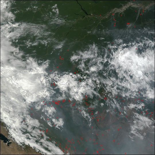
From the rainforests around the Amazon River (top) in Brazil, through the central highlands and into Bolivia to the southwest, numerous fires were burning throughout the region on September 8, 2002. The fires were detected by the Moderate Resolution Imaging Spectroradiometer (MODIS) on NASA’s Terra satellite, and their locations are marked with red dots in this true-color image. Thick smoke and clouds are shrouding the highlands in the southern portion of the image. At bottom left, a portion of Lake Titicaca can be seen.
References & Resources
Image by Jesse Allen, based on data from the MODIS Rapid Response Team at NASA-GSFC