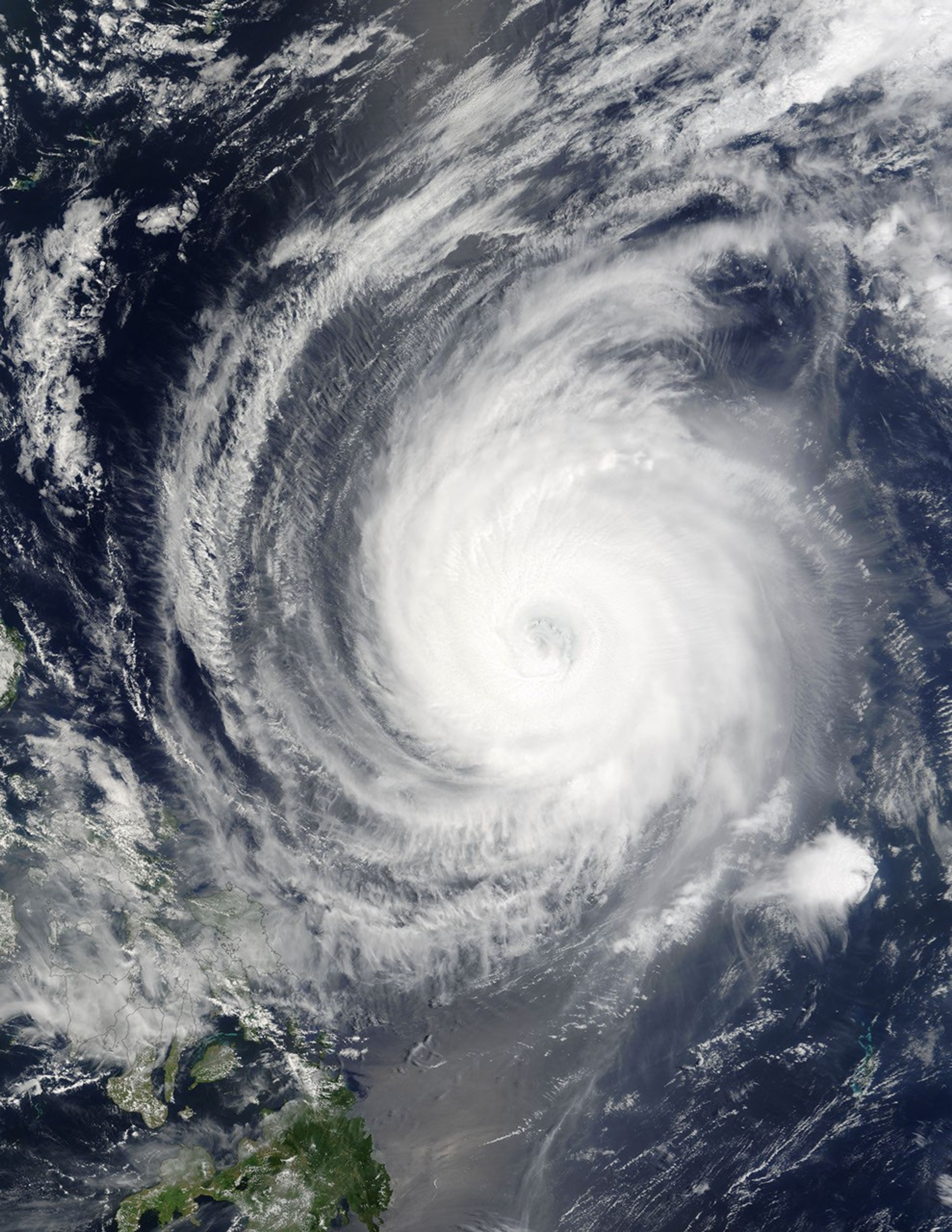
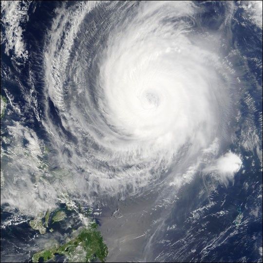
The Moderate Resolution Imaging Spectroradiometer (MODIS) instrument on board NASA’s Terra satellite captured this true-color image of Typhoon Sudal off the Philippines on April 12 at 2:10 UTC. At the time this image was taken Sudal was packing sustained winds of 132 mph with gusts to 146 mph and moving towards the northwest at 6 mph.
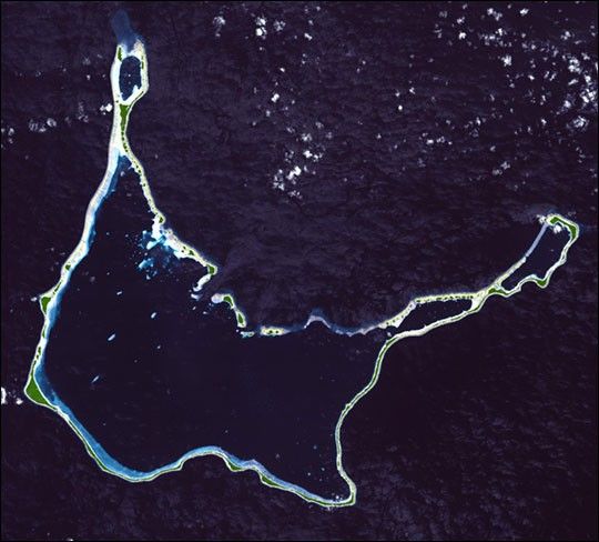
Several days earlier, the storm had lashed the state of Yap—one of the four states of the Federated Islands of Micronesia, located just over 1,000 kilometers (over 620 miles) east of the Philippines—on its way westward through the South Pacific Ocean. After being pummeled by winds over 120 mph for several hours, the islands and atolls that make up the state are now being designated a disaster area.
References & Resources
Image courtesy Jacques Descloitres, MODIS Land Rapid Response Team at NASA GSFC