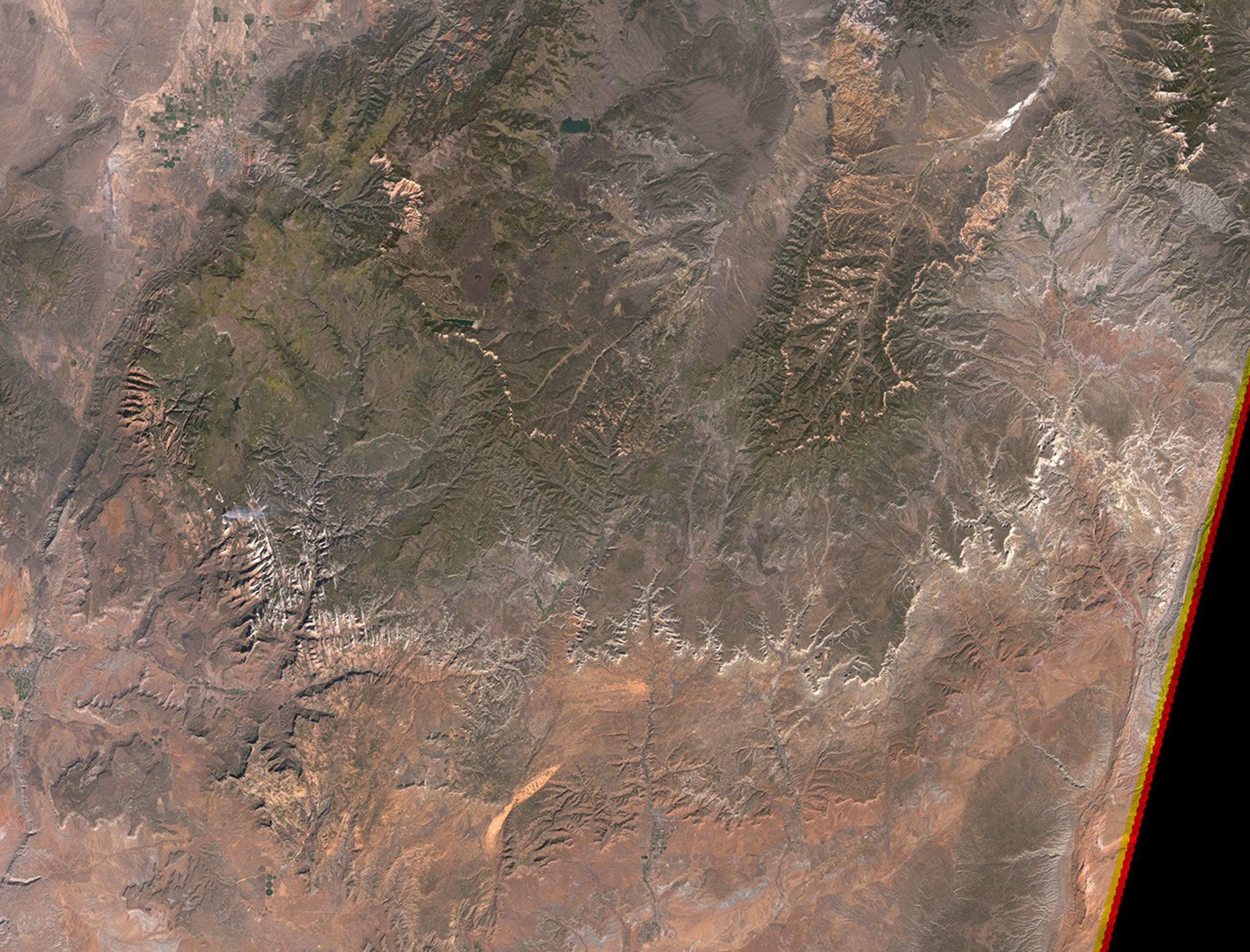
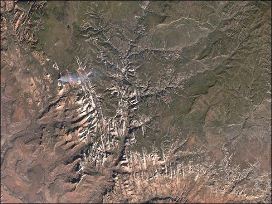
Though the Grand Canyon may receive all the attention due to its tremendoussize, the smaller canyons of the Southwest are arguably more sublime. Thistrue-color image of Zion Canyon in southwestern Utah was taken by the Enhanced ThematicMapper plus aboard the Landsat 7 satellite on October 10, 2001. Zion Canyon is located in thelower half of the image amidst the crisscross pattern of rock formations. The canyonwalls, made of red and white sandstone, rise2,000-3,000 feet from the canyon floor and are peppered with hangingvegetation. Over a period of four million years, the Virgin River cut a paththrough the western edge of the Colorado Plateau to form the canyon. The riverand its tributaries resemble branches across the gray-green landscape in the uppersection of the image. They eventually join the canyon, often as spectacularslot canyons only a few feet wide, and exit at the bottom of the image onthe way to the Colorado River.
References & Resources
Image by Robert Simmon, based on data provided by the Landsat 7 Science Team and the Arizona Regional Image Archive