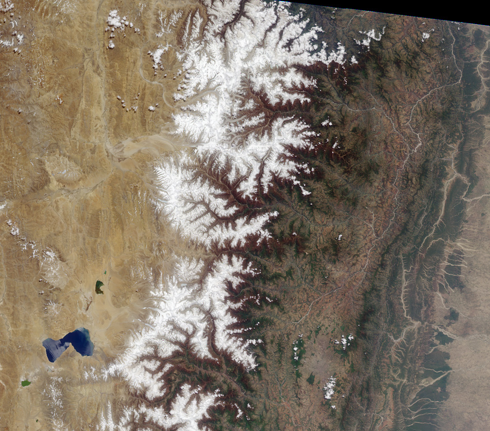
High resolution true-color image
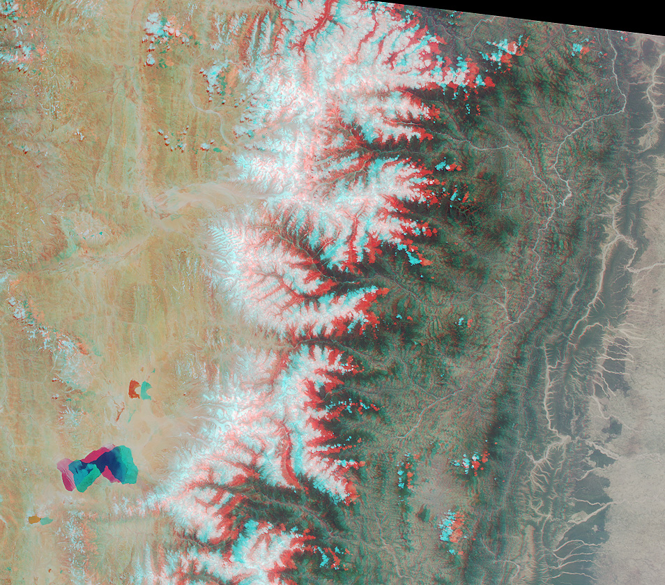
High resolution anaglyph
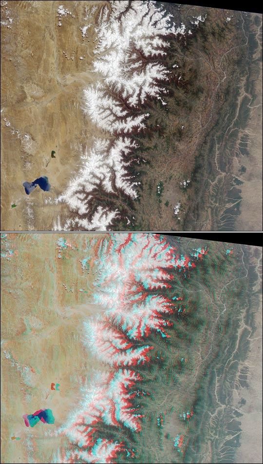
The Tibetan Plateau and a portion of the Himalayan Mountain chain arecaptured in this Multi-angle Imaging Spectroradiometer (MISR) true-color and stereoimages from May 14, 2000. The upper image is composed of red, green, and blue datafrom MISR's vertical (nadir) camera. The lower image is a composite of data from theinstrument's vertical and46-degree forward cameras. Both are oriented with north at the left.Viewing the image in 3-D requires the use of red/blue glasses with thered filter placed over your left eye.
On the left side of these images is the Tibetan Plateau, the highestplateau on Earth and often called the "Roof of the World." Near thelower left is lake Paiku Co, at an altitudeof 4591 meters. The borderbetween Tibet and Nepal marks the eastern extent of the magnificentHimalayan Mountains, home to many of the world's highest peaks. Himalayais a Sanskrit word meaning "the Abode of Snow." Mt. Everest (8848meters) and Mt. Makalu (8481 meters) are visible near the top center ofthe image.
Further to the south is the Mahabharat Range, separated from theHimalayas by the "River of Gold," the Sun Kosi. Rounding out our tourfrom north to south, on the righthand side of the image, is the denselypopulated Indo-Gangetic Plain of northern India.
References & Resources
Image courtesy NASA/GSFC/JPL, MISR Team.
None