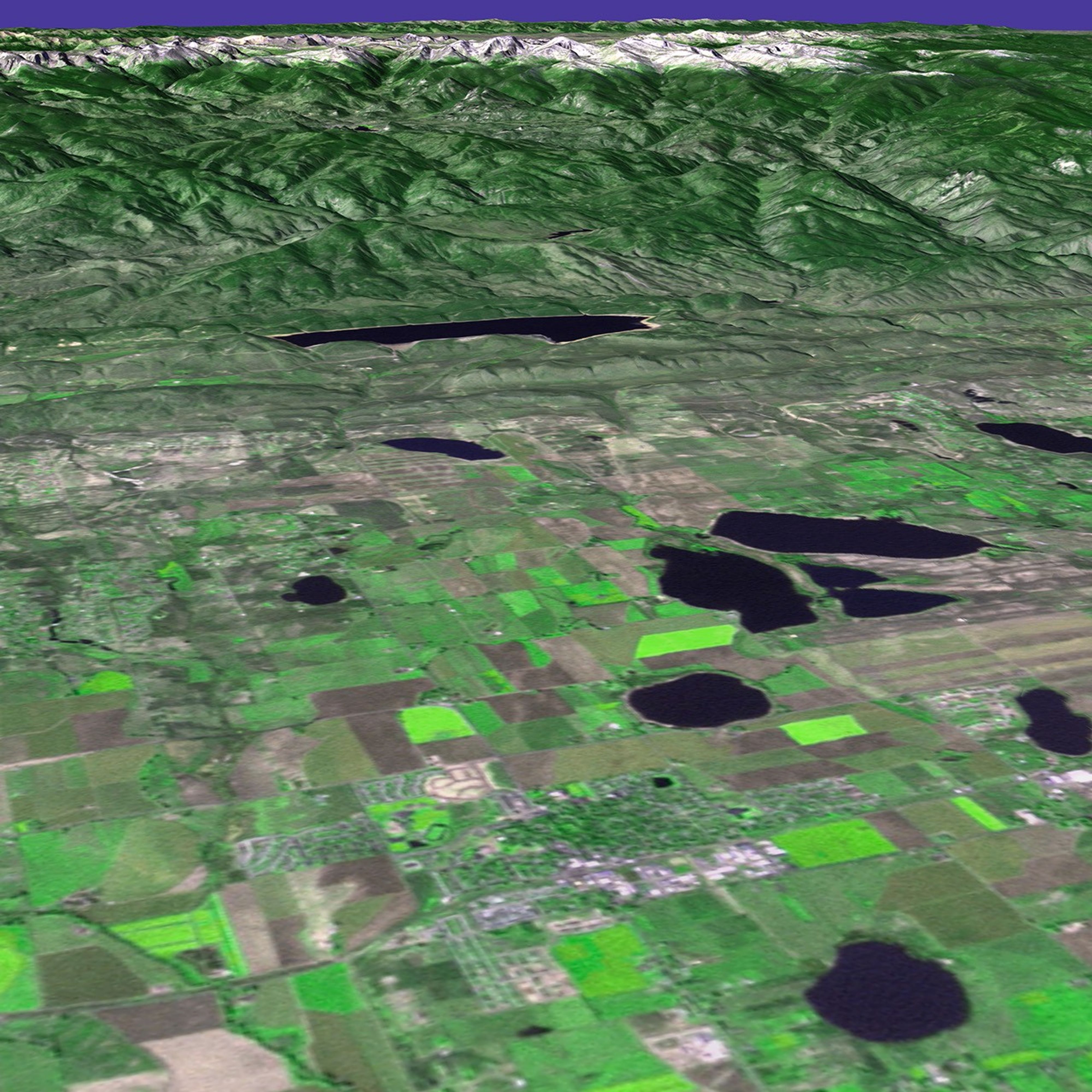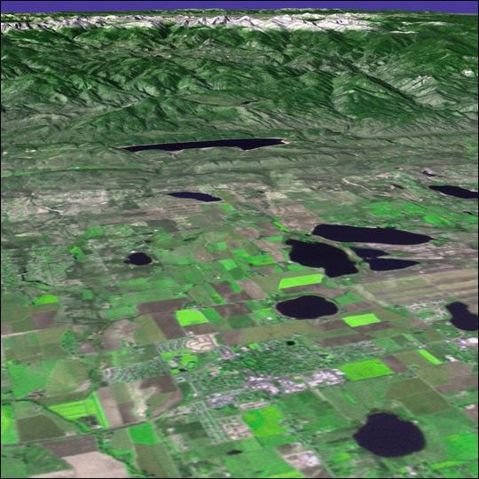
This enhanced true-color composite image shows a portion of the eastern face ofRocky Mountain National Park in northern Colorado. The scene wasacquired on October 5, 1999, by the Enhanced Thematic Mapper Plus(ETM+), flying aboard NASA’s Landsat 7 satellite. The image wasproduced using a combination of the ETM+ visible and near-infrared bands3 (red), 2+4 (green plus near infrared), and 1 (blue). For perspective, the scenewas draped over a digital elevation model of the region.
The topography of the mountains in the background of this image wascreated to scale so that their relative heights are not exaggerated.Toward the south (left) end of the mountain range stands snowcappedLongs Peak, with an elevation of 14,255 feet (4,334 m). White pixels showareas of snowcover and green represents vegetation. Note the geometricalpatterns of agricultural fields on the plain in the foreground.
This scene is looking west by northwestward across the plain where thetown of Berthoud is situated (whitish-grey pixels) in the foreground.Berthoud is located roughly halfway between Fort Collins and Boulder,Colorado, on the map. The large, dark blue blobs dotting the landscapeare lakes.
References & Resources
Image courtesy Jesse Allen, Goddard VisAnalysis Lab