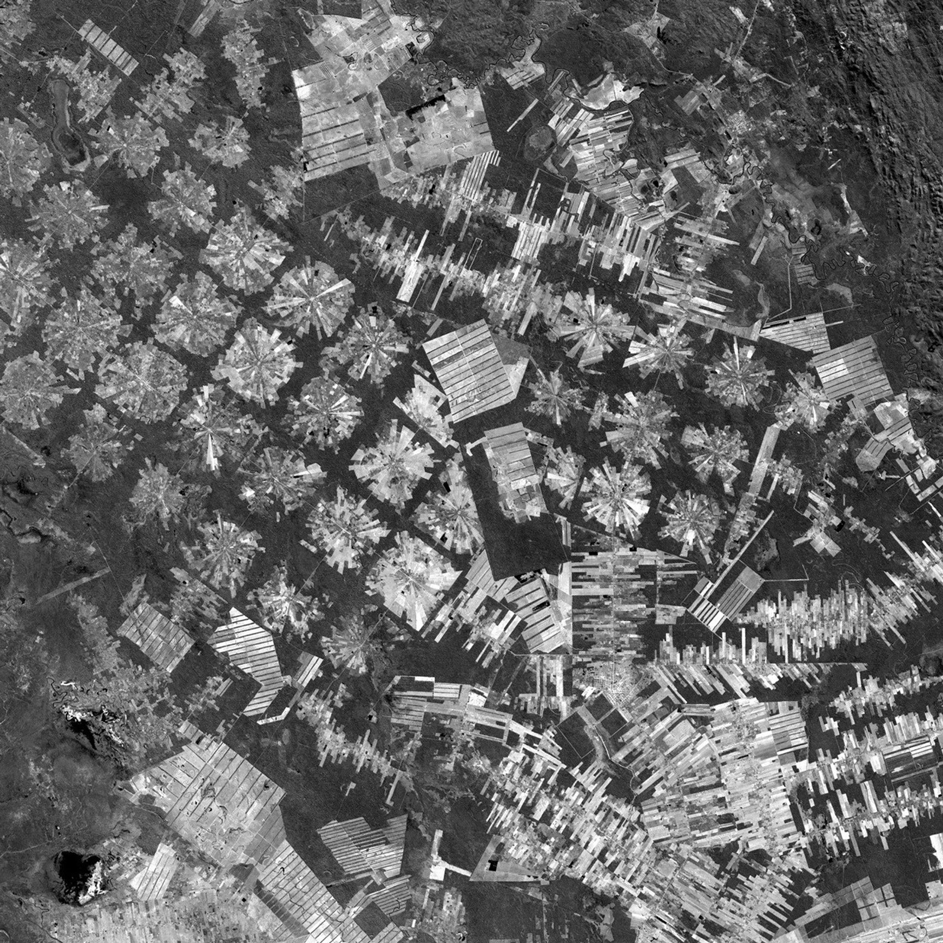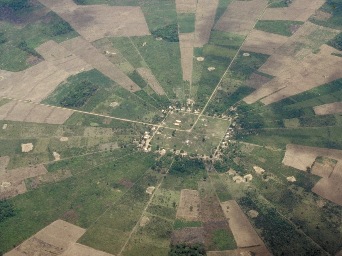

This image from Landsat7, acquired on August 1, 2000, shows the newagricultural settlements east of Santa Cruz de la Sierra, Bolivia in anarea of tropical dry forest. Since the mid-1980s, this region has beenrapidly deforested as a result of the resettlement of people from theAltiplano (the Andean high plains) and a large agricultural developmenteffort, called the Tierras Baja project. The pie or radial patterned fields(left) are part of the San Javier resettlement scheme. At the center of each unit is asmall community including a church, bar/cafe, school, and soccerfield-the essentials of life in rural Bolivia. The rectilinear, light-coloredareas (right) are fields of soybeans cultivated for export that are mostly funded byforeign loans. The dark strips running through these fields are windbreaks. These are advantageous because the soils in this area are fineand prone to wind erosion.
Large version of pie-shaped fields (420 kb)
Large version of linear fields (360 kb)
References & Resources
Landsat image courtesy USGS EROS Data Center and Landsat7 science team. Photographs courtesy Compton Tucker, NASA GSFC.