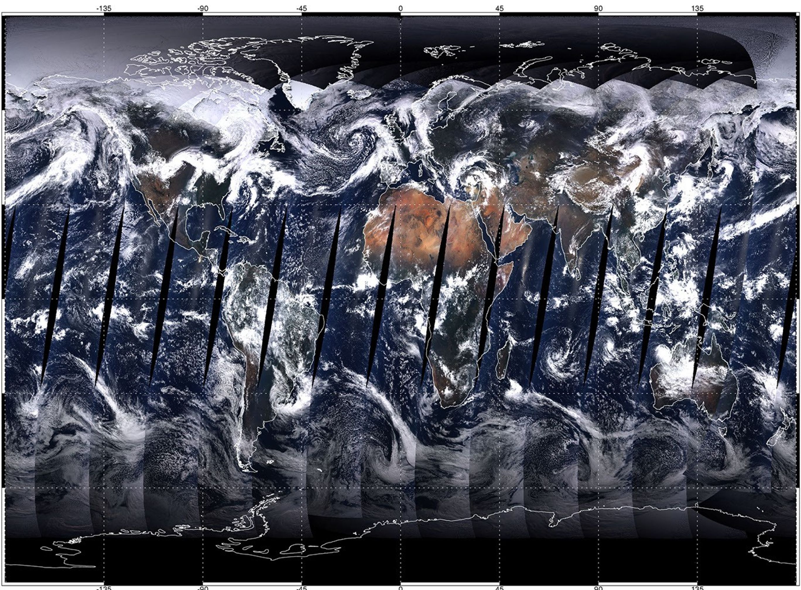
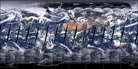
This spectacular, full-color image of the Earth is a composite of thefirst full day of data gathered by the Moderate-resolution ImagingSpectroradiometer (MODIS) aboard NASA’s Terra spacecraft. MODIScollected the data for each wavelength of red, green, and blue lightas Terra passed over the daylit side of the Earth on April 19, 2000.Terra is orbiting close enough to the Earth so that it cannot quitesee the entire surface in a day, resulting in the narrow gaps aroundthe equator. Although the sensor's visible channels were combined toform this true-color picture, MODIS collects data in a total of 36wavelengths, ranging from visible to thermal infrared energy.Scientists use these data to measure regional and global-scalechanges in marine and land-based plant life, sea and land surfacetemperatures, cloud properties, aerosols, fires, and land surface properties.
Notice how cloudy the Earth is, and the large differences inbrightness between clouds, deserts, oceans, and forests. TheAntarctic, surrounded by clockwise swirls of cloud, is shrouded indarkness because the sun is north of the equator at this time ofyear. The tropical forests of Africa, Southeast Asia, and SouthAmerica are shrouded by clouds. The bright Sahara and Arabian desertsstand out clearly. Green vegetation is apparent in the southeastUnited States, the Yucatan Peninsula, and Madagascar.
References & Resources
Image by Mark Gray, MODIS Atmosphere Team, NASA GSFC