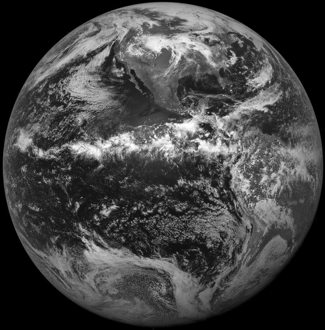
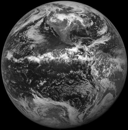
On 17 May 2000, the first visible image was broadcast by NOAA's GOES-11 satellite, which was launched just 2 weeks earlier. The displayed picture is a greatly reduced version from the full image, which is 164 million pixels (more than 100 screenfuls). The United States is host to more severe weather than any other nation on the planet. Even in mid-May, the storm in the upper midwest dropped 12 inches of snow in Wyoming, 2 inches of hail in Colorado, and spawned tornadoes across Nebraska.
For more information, see the GOES Project Science page.
References & Resources
Image courtesy NASA GSFC, data from NOAA-GOES