

Early in the year 2000, the Space Shuttle Endevour will blast into spaceto map the Earth's surface inunprecedented detail. The Shuttle Radar Topography Mission will map 80% ofthe Earth's terrain at 30 meterresolution. Currently, high resolution topography data is only availablefor a few regions of the world, and muchof that data is of questionable quality. Applications include volcanomonitoring, hydrologic modeling, and land use planning.
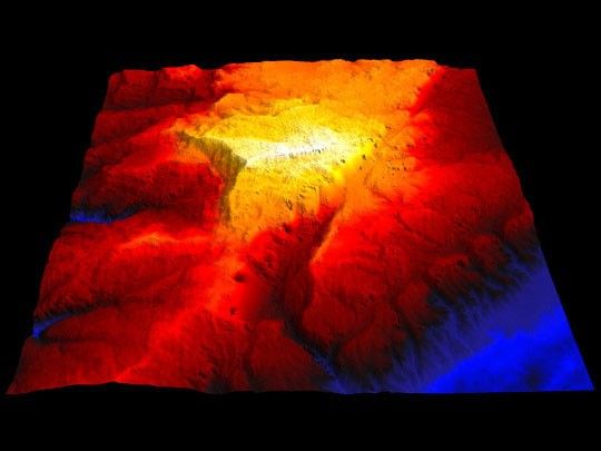
The above image shows the terrain in central Lebanon. The lowest pointin this image is 250 meters, the highest 2650 meters. North is towards thetop.
For more information, see JPL's Shuttler Radar Topography Mission
References & Resources
Image by Robert Simmon
None