
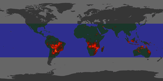
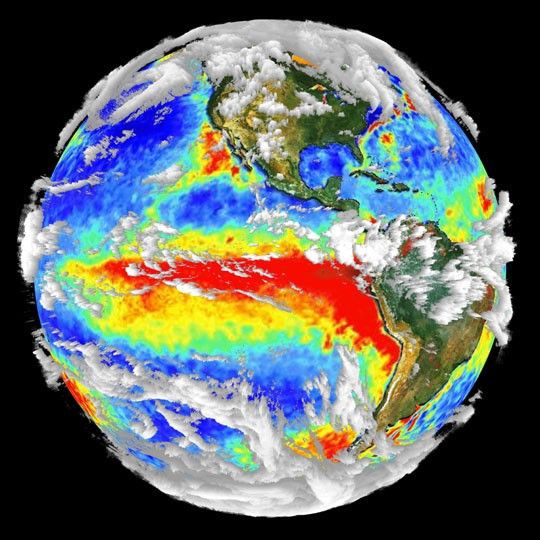
This globe shows data collected from multiple satellite sensors and integrated into one image. It represents the capabilities of NASA's EOS Terra satellite, currently being prepared for launch, which will view the Earth with a series of interrelated instruments.
For more information, see About Terra.
References & Resources
Image by R.B. Husar, Washington U.; the land layer from the SeaWiFS Project; fire maps from the European Space Agency; the sea surface temperature from the Naval Oceanographic Office's Visualization Laboratory; and cloud layer from SSEC, U. of Wisconsin

