full resolution shaded relief (1.1 MB)
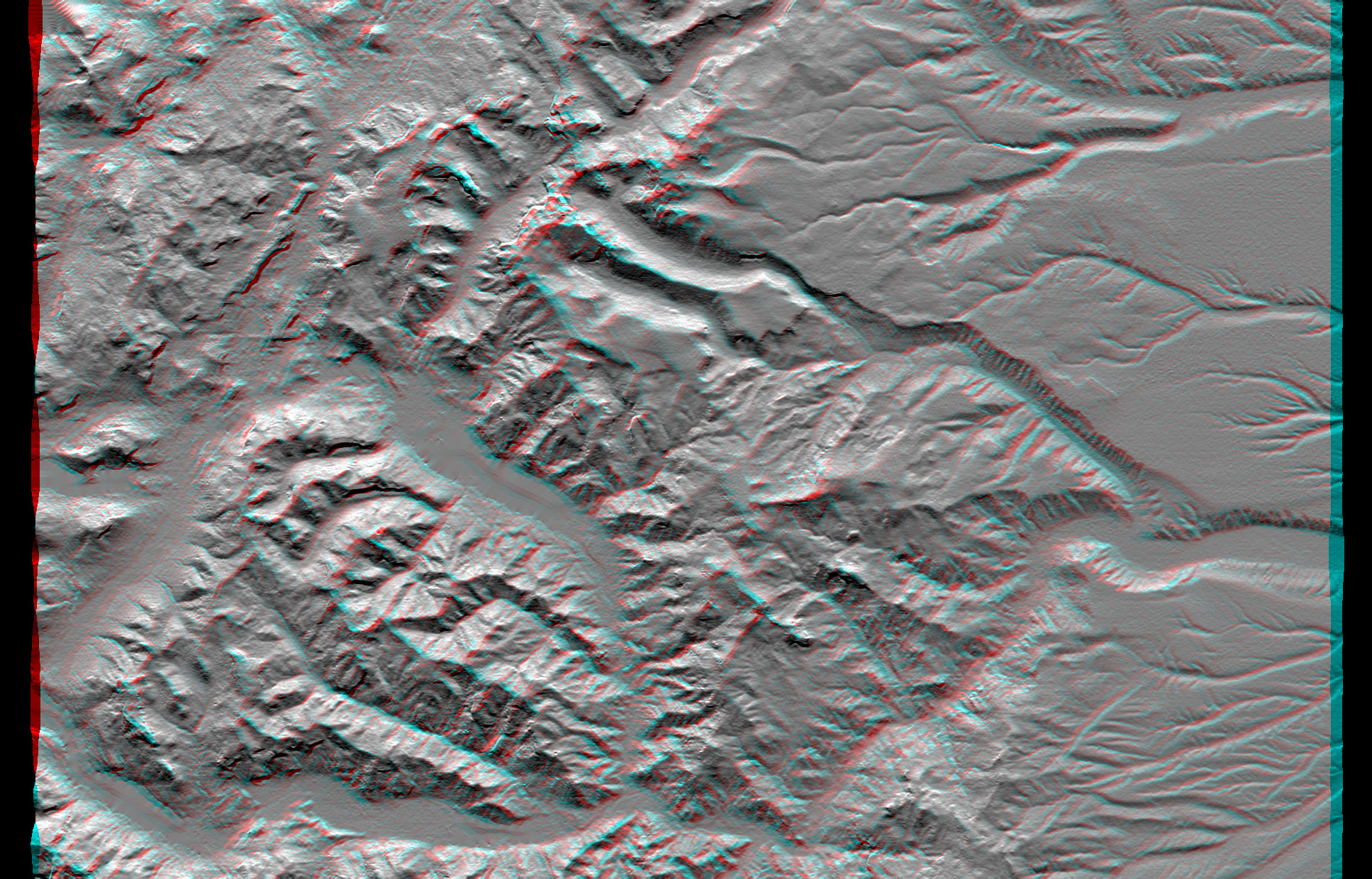
full resolution anaglyph (1.1. MB)
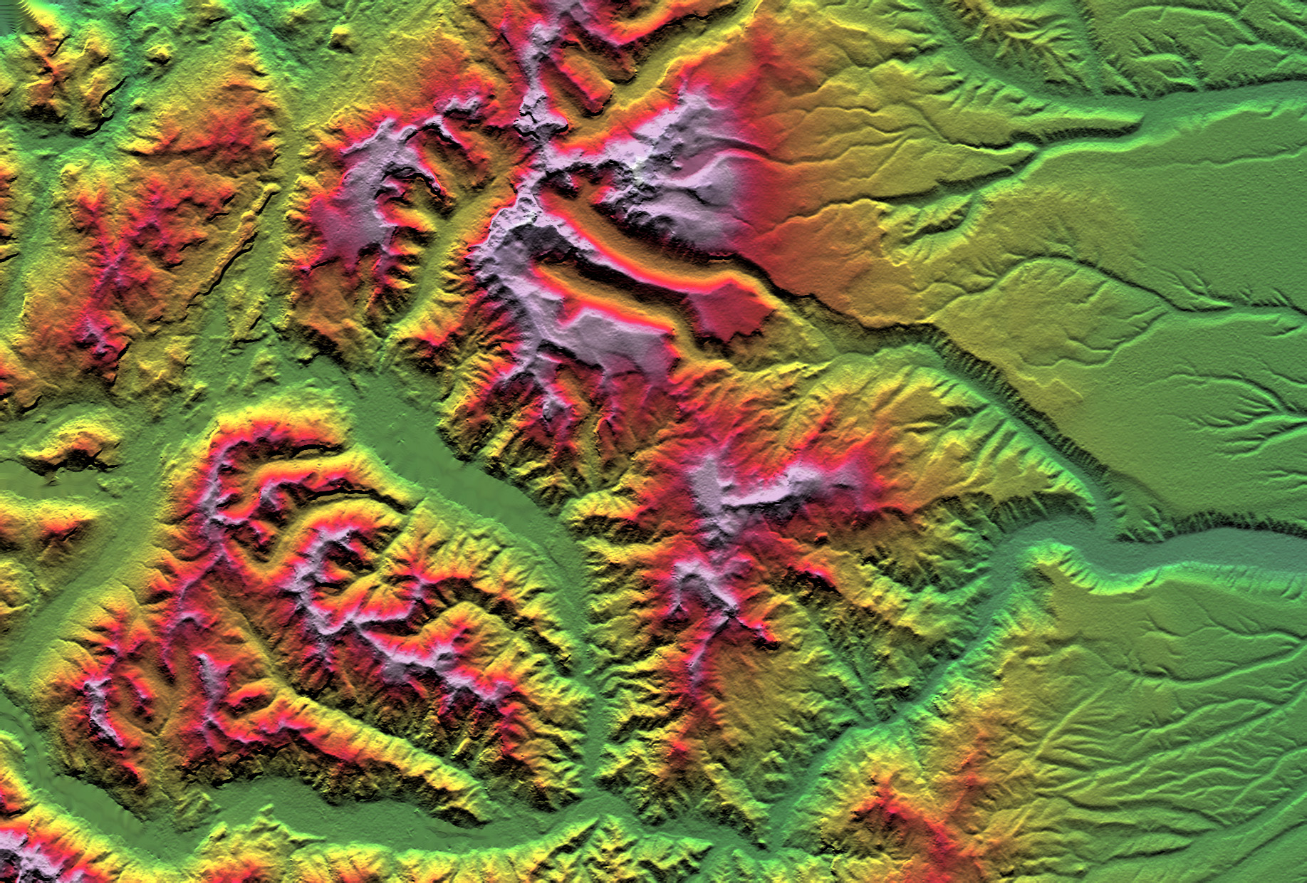
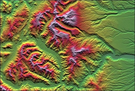
This depiction of an area south of San Martin de Los Andes, Argentina,is the first Shuttle Radar Topography Mission (SRTM) view of the AndesMountains, the tallest mountain chain in the western hemisphere. Thisparticular site does not include the higher Andes peaks, but it doesinclude steep-sided valleys and other distinctive landforms carved byPleistocene glaciers. Elevations here range from about 700 to 2,440meters (2,300 to 8,000 feet). This region is very active tectonicallyand volcanically, and the landforms provide a record of the changes thathave occurred over many thousands of years. Large lakes fill the broadmountain valleys, and the spectacular scenery here makes this area apopular resort destination for Argentinians.
Two visualization methods were combined to produce this image:shading and color coding of topographic height. The shade image wasderived by computing topographic slope in the north-south direction.Northern slopes appear bright and southern slopes appear dark, as wouldbe the case at noon at this latitude in the southern hemisphere. Colorcoding is directly related to topographic height, with green at thelower elevations, rising through yellow, red, and magenta, to white atthe highest elevations.
Size: 55.0 x 37.2 kilometers ( 34.1 x 23.1 miles)
Location: 40.4 deg. South lat., 71.3 deg. West lon.
Orientation: North toward the top
Image Data: Shaded and colored SRTM elevation model
Date Acquired: February 2000
References & Resources
Image courtesy NASA/JPL/NIMA
None