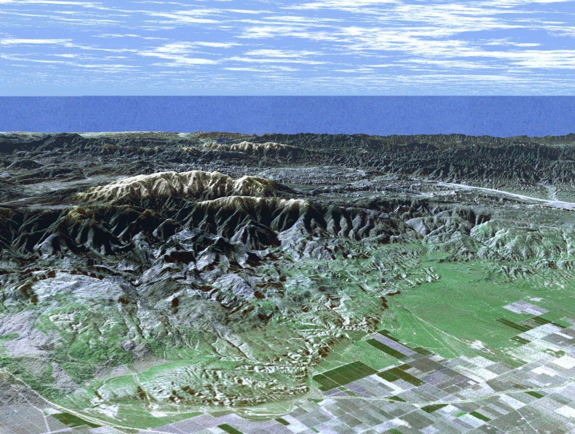

Ask any astronomer where the beststargazing site in Southern California is, and chances are they'll sayMt. Pinos. In this perspective view generated from Shuttle Radar Topography Mission (SRTM) elevation data,the snow-capped peak is seen rising to an elevation of 2,692 meters(8,831 feet), in stark contrast to the flat agricultural fields of theSan Joaquin valley seen in the foreground. Below the summit, but stillwell away from city lights, the Mt. Pinos parking lot at 2,468 meters(8,100 feet) is a popular viewing area for both amateur and professionalastronomers and astro-photographers. For visualization purposes,topographic heights displayed in this image are exaggerated two times.
The elevation data used in this image was acquired by SRTM aboard theSpace Shuttle Endeavour, launched on February 11, 2000.
Distance to Horizon: 176 kilometers (109 miles)
Location: 34.83 deg. North lat., 119.25 deg. West lon.
View: Toward the Southwest
Date Acquired: February 16, 2000 (SRTM), December 14, 1984 (Landsat)
References & Resources
Image courtesy NASA/JPL/NIMA