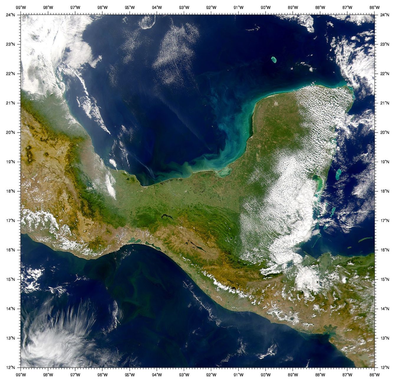
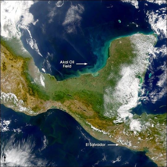
This Sea-viewing Wide Field-of-view Sensor (SeaWiFS)image of the Bay of Campeche, acquired January 17, 2001, shows a 300-kilometer long smoke plumestreaming towards the northwest from around 19.4° North and 92° West, thelocation of the Akal oil field.
In the lower right (southeast) cornerof the image is the country of El Salvador, site of a magnitude 7.6earthquake on January 13, 2001.
On the Pacific side of Southern Mexico, the productive waters of theGulf of Tehuantepec are visible.
References & Resources
Provided by the SeaWiFS Project, NASA/Goddard Space Flight Center, and ORBIMAGE