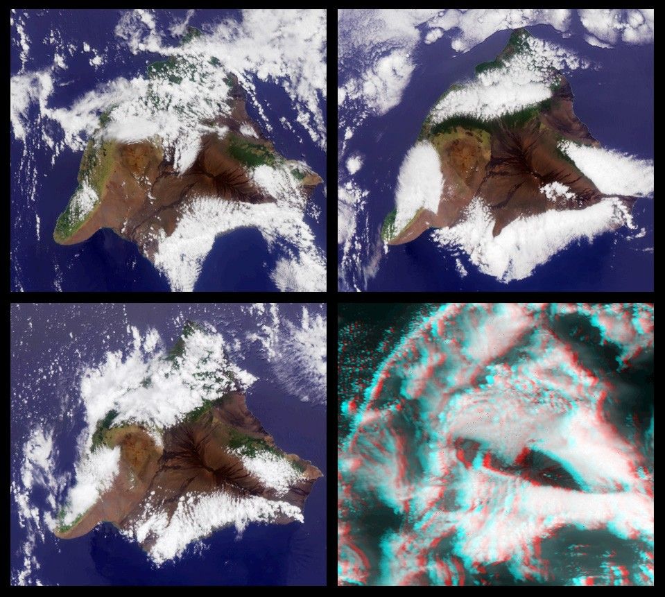
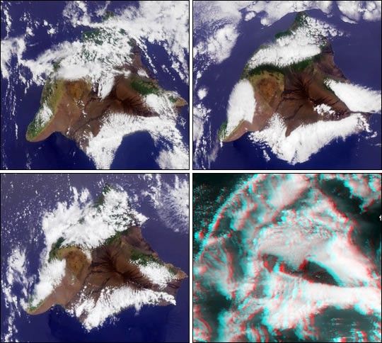
Multi-angle Imaging Spectroradiometer (MISR) images of the Big Island of Hawaii. The images have been rotatedso that north is at the left.
Upper left: April 2, 2000
Upper right: May 4, 2000
Lower left: June 5, 2000
Lower right: June 21, 2000
The first three images are color views acquired by the vertical(nadir) camera. The last image is a stereo anaglyph generated from theaftward cameras viewing at 60.0 and 70.5 degree look angles.It requires red/blue glasses with the redfilter over the left eye.
The color images show the greater prevalence of vegetation on theeastern side of the island due to moisture brought in by the prevailingPacific trade winds. The western (lee) side of the island is drier. In the center of the island, andpoking through the clouds in the stereo image are the Mauna Kea andMauna Loa volcanoes, each peaking at about 4.2 km above sea level. The southern face of a line of cumulus cloudsoff the north coast of Hawaii is also visible in the stereo image.
MISR was built and is managed by NASA's Jet PropulsionLaboratory, Pasadena, CA, for NASA's Office of Earth Science,Washington, DC. The Terra satellite is managed byNASA's Goddard Space Flight Center, Greenbelt, MD. JPL is adivision of the California Institute of Technology.
For more information: http://www-misr.jpl.nasa.gov
References & Resources
Image by NASA/GSFC/JPL, MISR Science Team