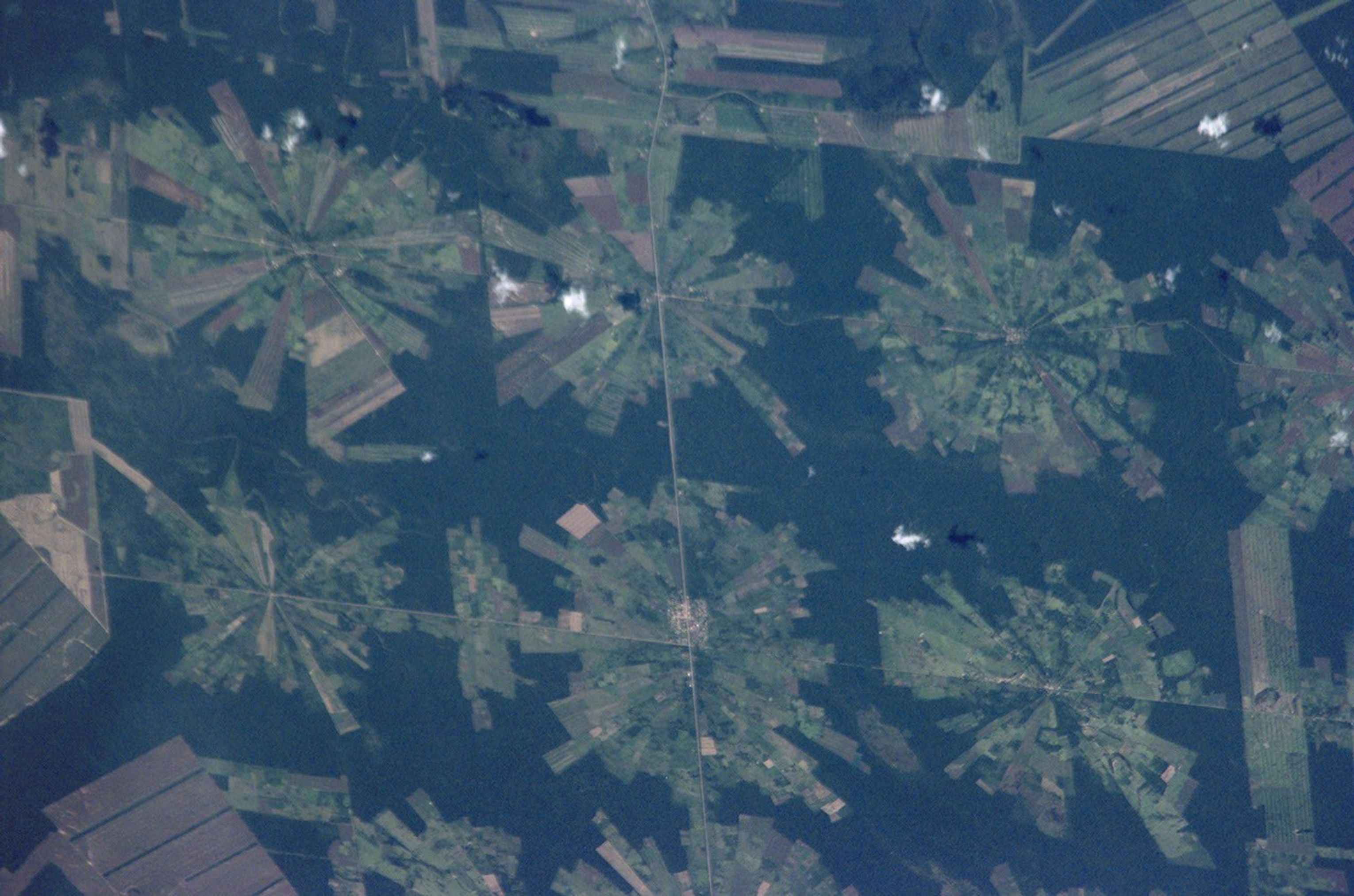
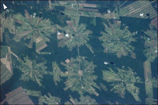
This digital photograph of deforestation associated with the TierrasBajas project in eastern Bolivia was taken by astronauts from theInternational Space Station on April 16, 2001. The spatial resolution ofthe original digital photograph is about 6 meters per pixel.
The area east of Santa Cruz was originally dry tropical forest.As part of the Tierras Bajas project, people have been resettled from theAltiplano to cultivate soybeans. Each agricultural "pinwheel" pattern is centered on a small community. The communitiesare then spaced evenly across the landscape at 5-km intervals.Roadways can be seen connecting each town center.
See previous images of this area posted to Earth Observatory:
Landsat & aerial photography
Landsat time series
References & Resources
Image ISS002-ESC-5654 was provided by the Earth Sciences and Image Analysis Laboratory at Johnson Space Center. Additional images taken by astronauts and cosmonauts can be viewed at the NASA-JSC Gateway to Astronaut Photography of Earth